South Lake Tahoe wasn't the destination. Bend, Oregon was, and getting there in a single day from the Central Coast in an EV is more car-time than I want for one sitting. So Tahoe got two nights at the Marriott's Timber Lodge, which turned out to be one of those places I'd happily go back to on its own merit.
The drive in (and the road I hadn't been on in years)
Up the western Sierras on Highway 99 to start. I took a "shortcut" through Sheldon to pick up Highway 50 — Sheldon I'd been to before, but if you asked me when, I couldn't tell you. Long enough that the place didn't quite match the version I had in my head.
The bigger surprise on that stretch was the burn. The Caldor Fire had moved through there in late summer 2021 — burning across Highway 50 and coming close enough to South Lake Tahoe that the city was evacuated. By 2025 the route still had the stark, charred-but-recovering look of a forest a few growing seasons out from a wildfire — black trunks, skeletal branches, but the understory and the new conifers already pushing back through:
Fire ecology is one of those things that's easier to read about than to walk through. The recovery is real but it's slow, and the silence in a burned-out section is unmistakably different from a healthy forest.
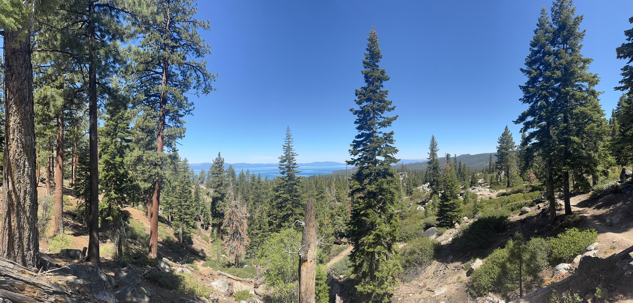
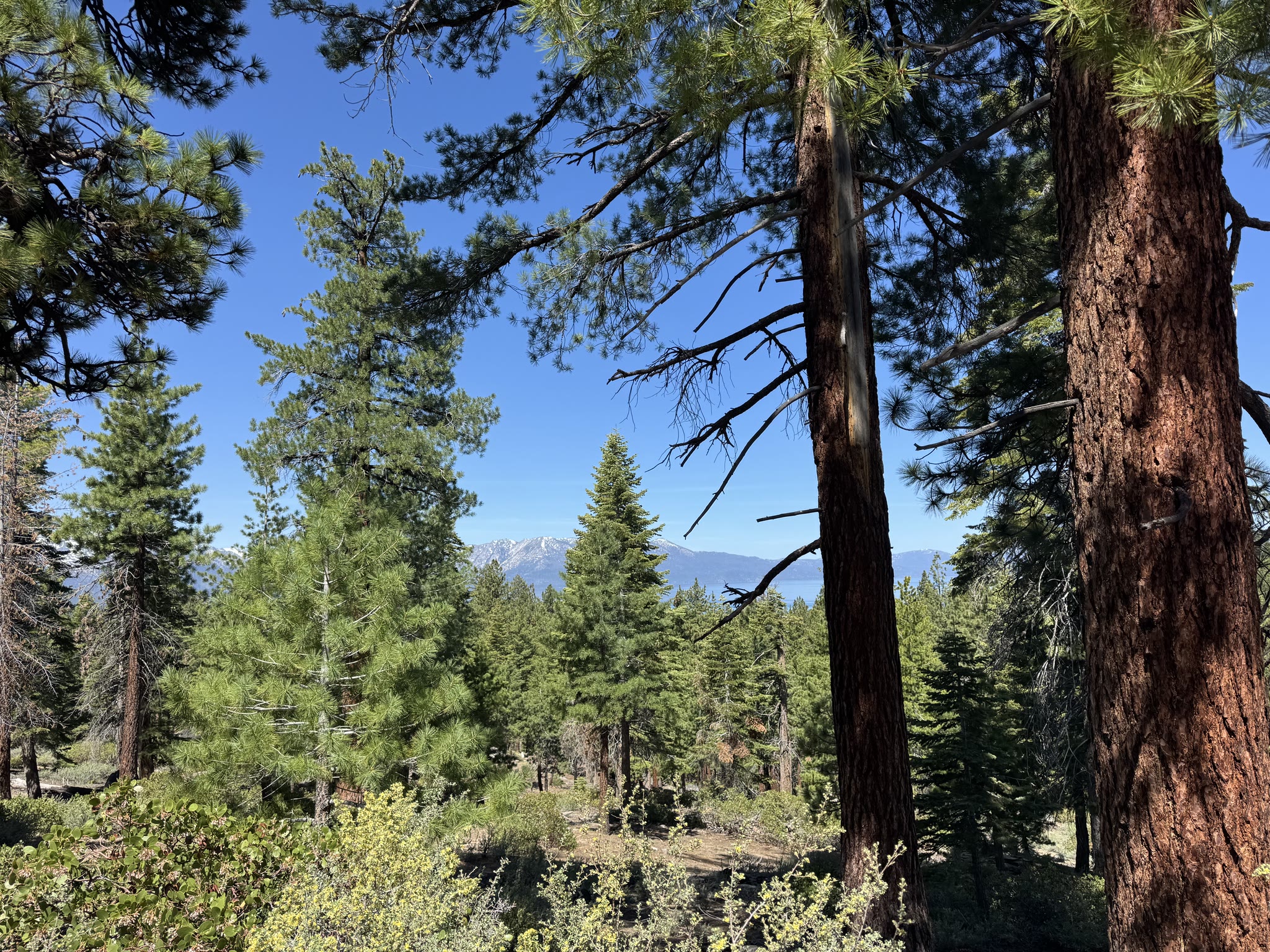
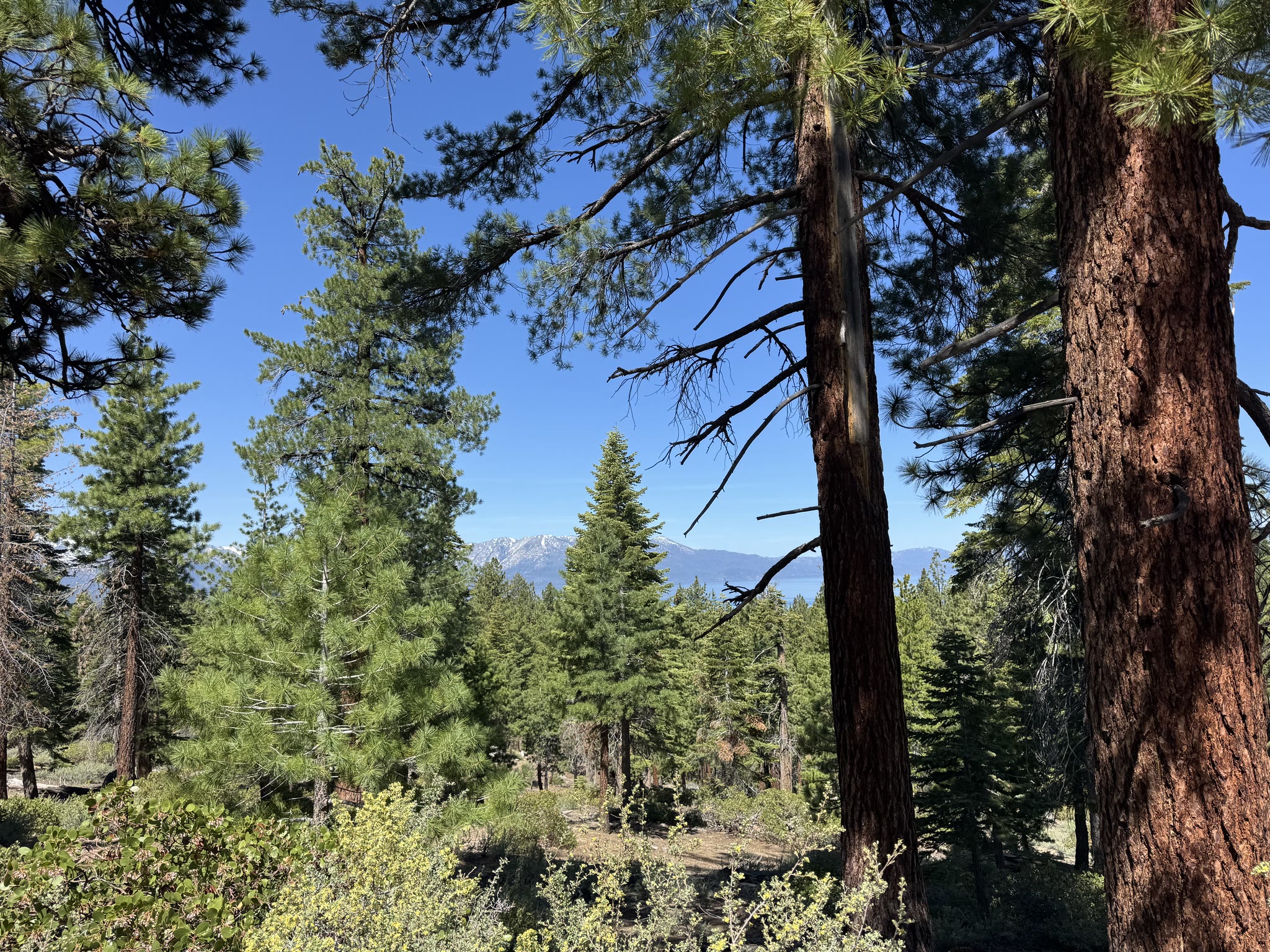
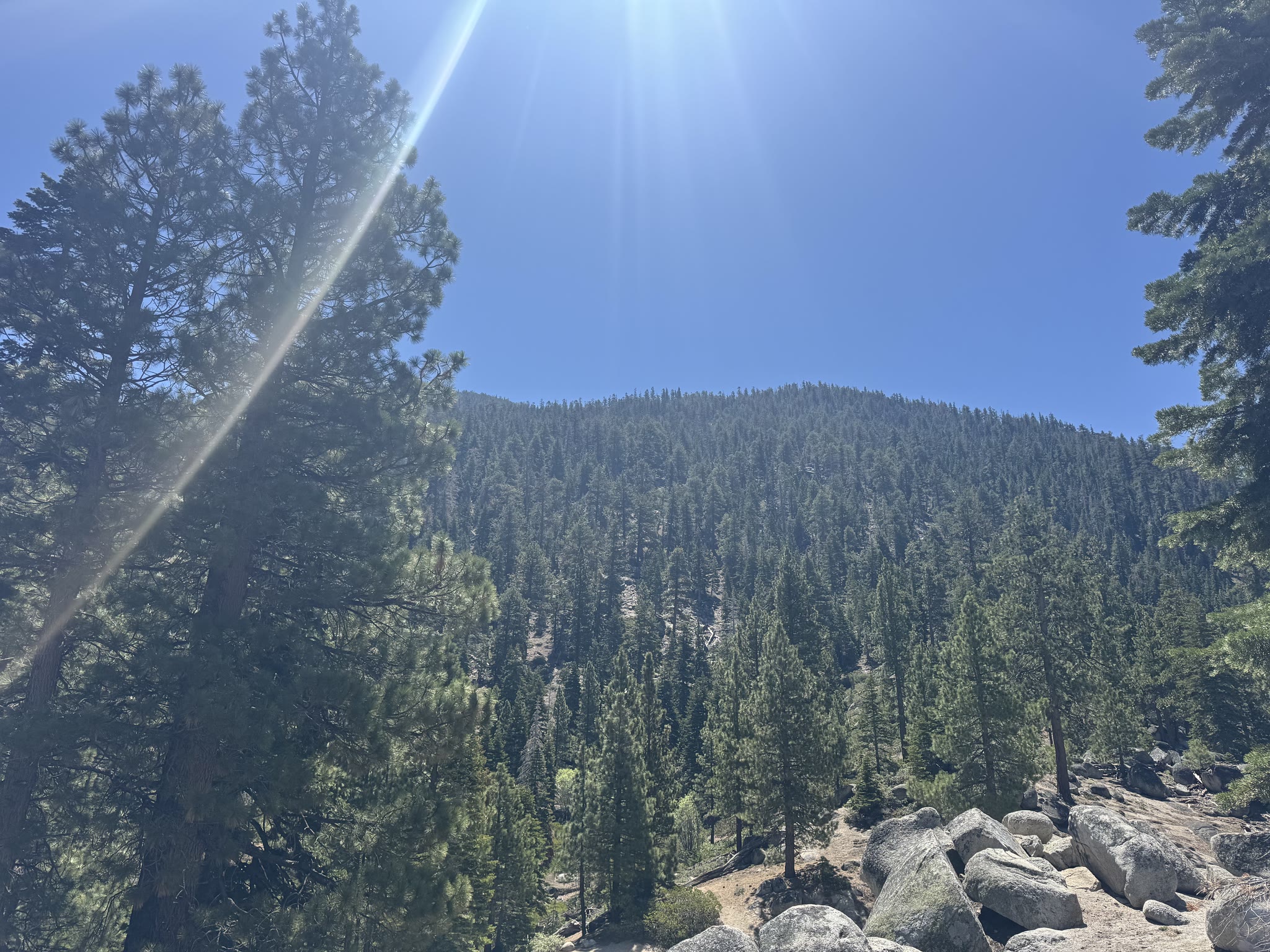
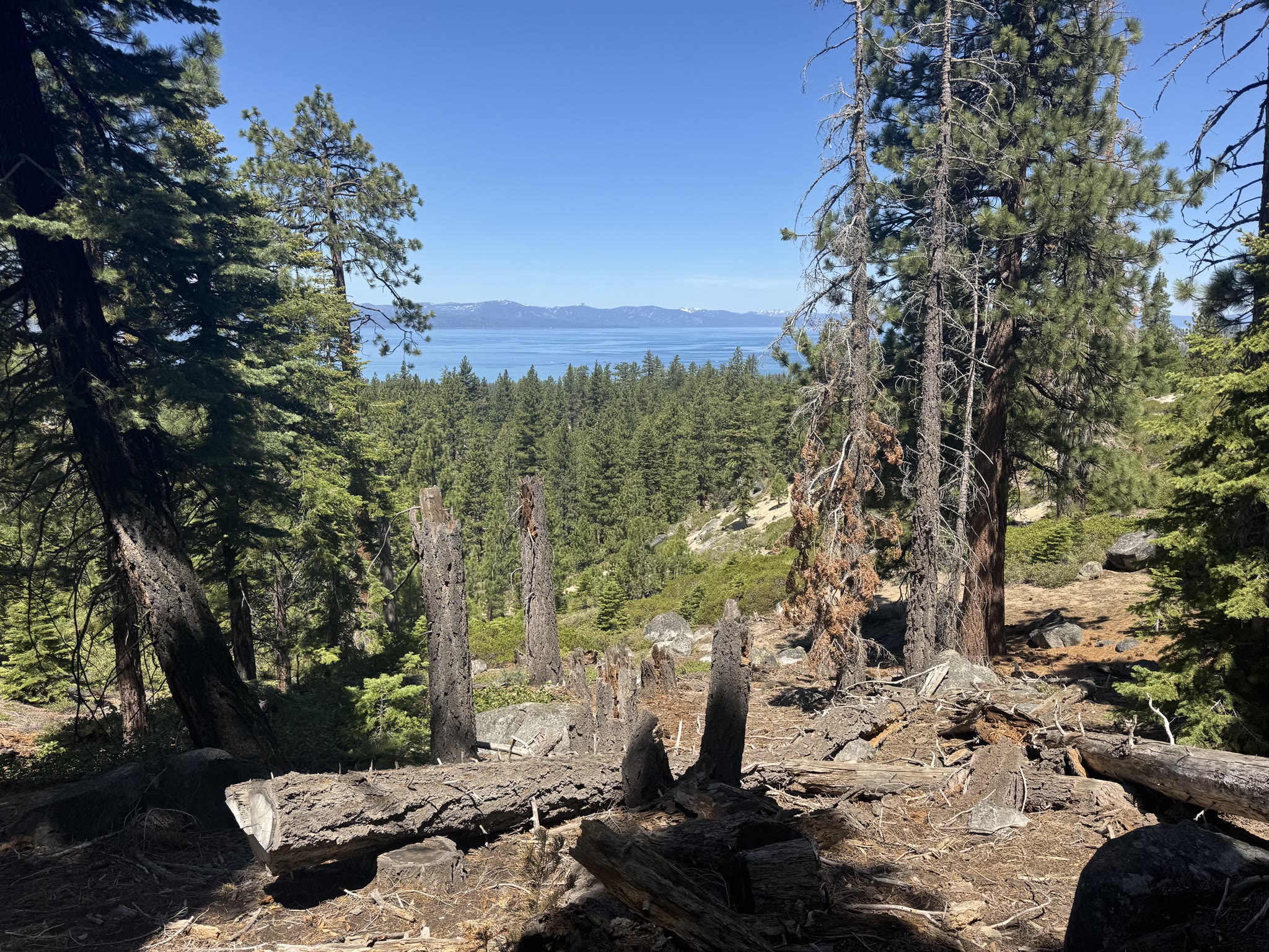
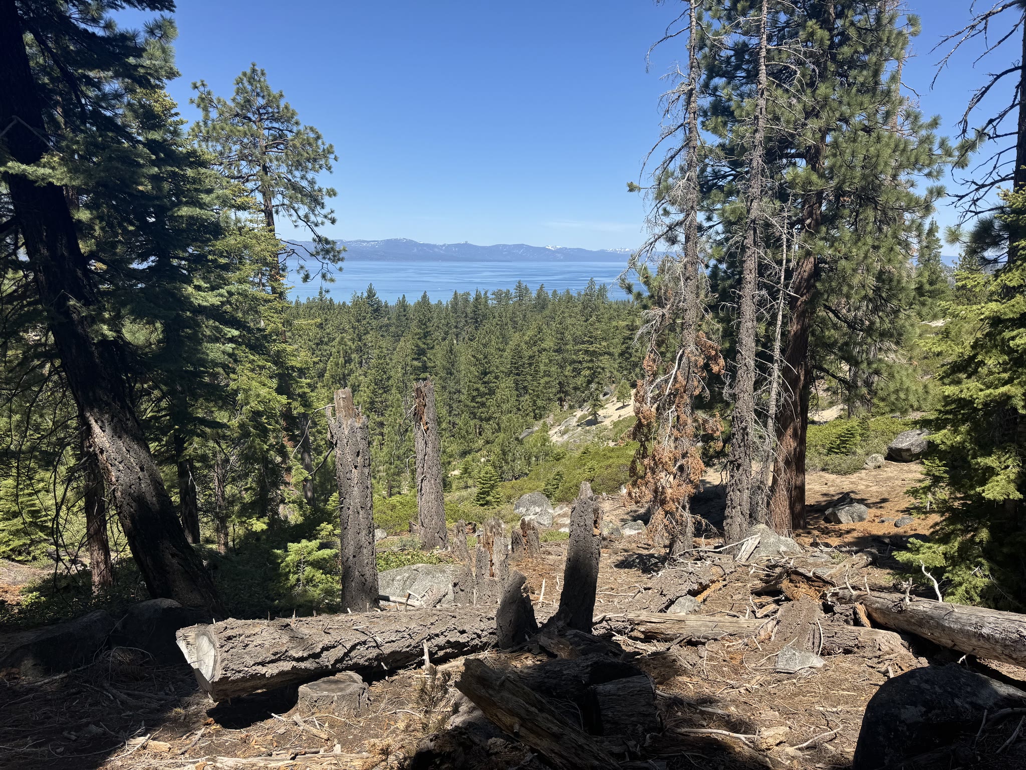
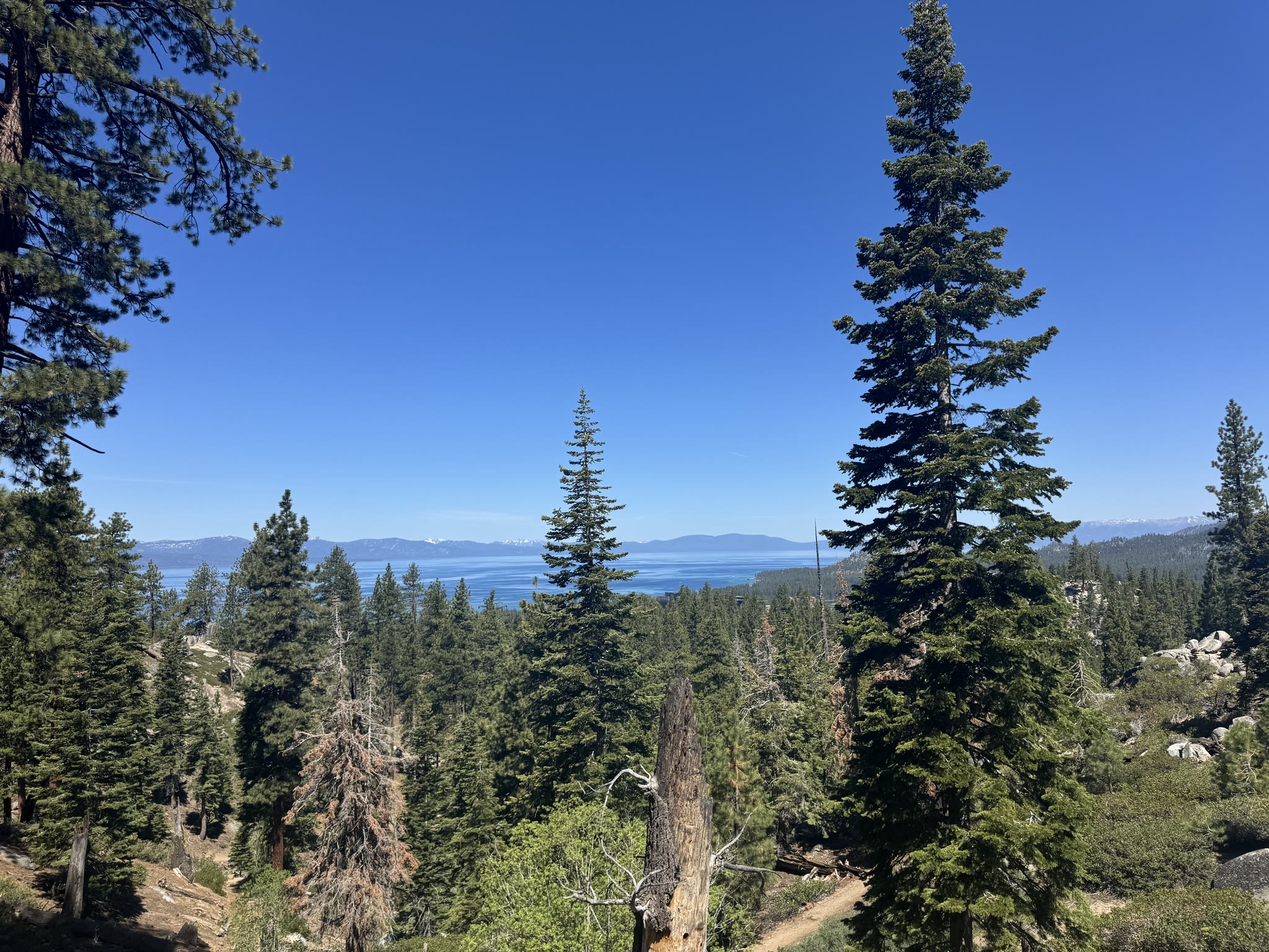
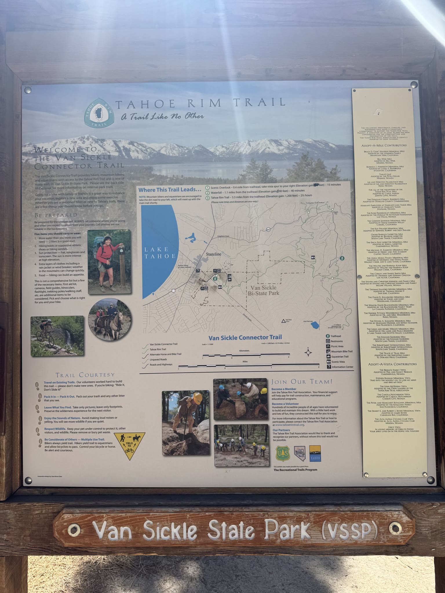
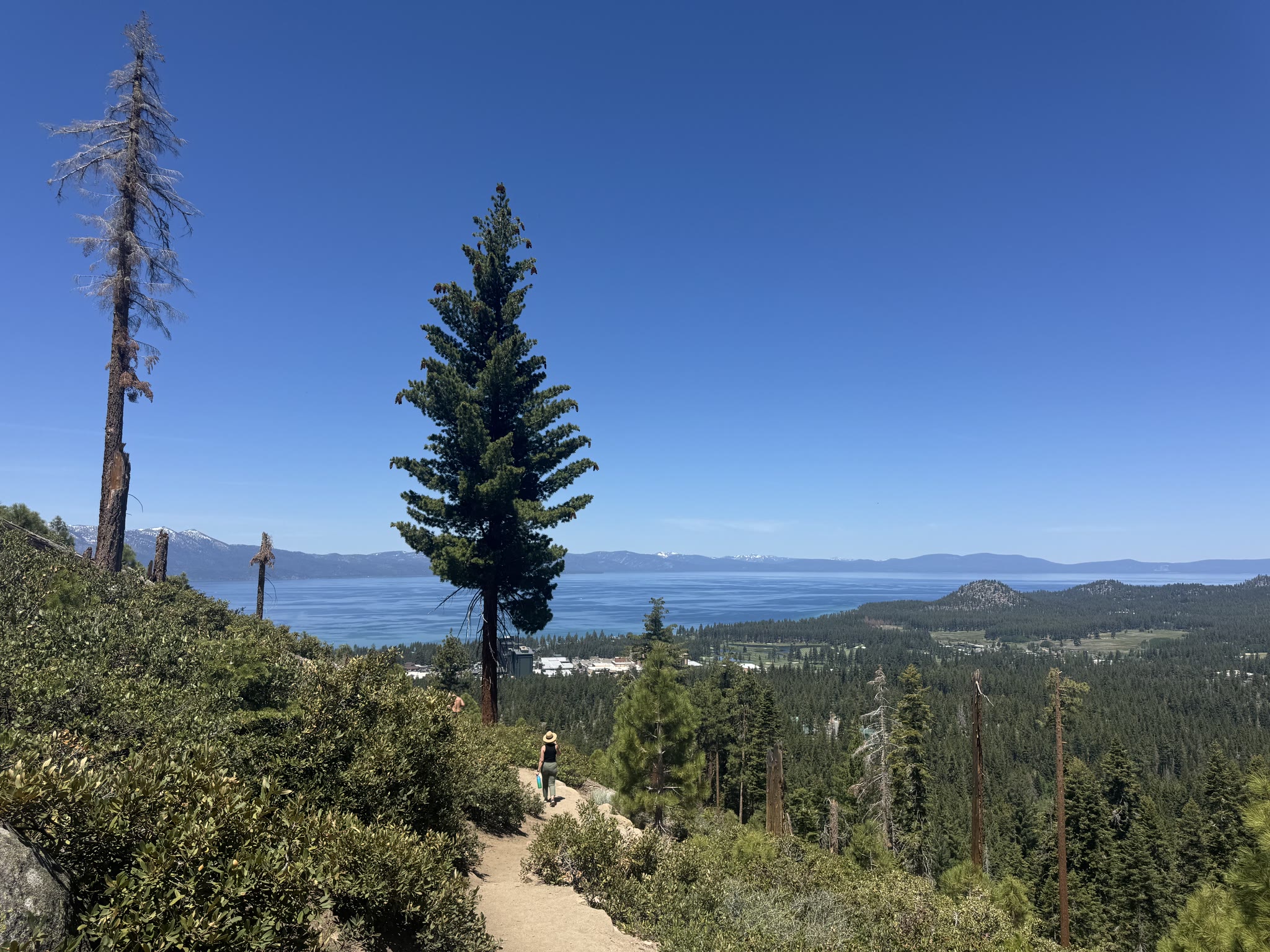
The trail above the lake
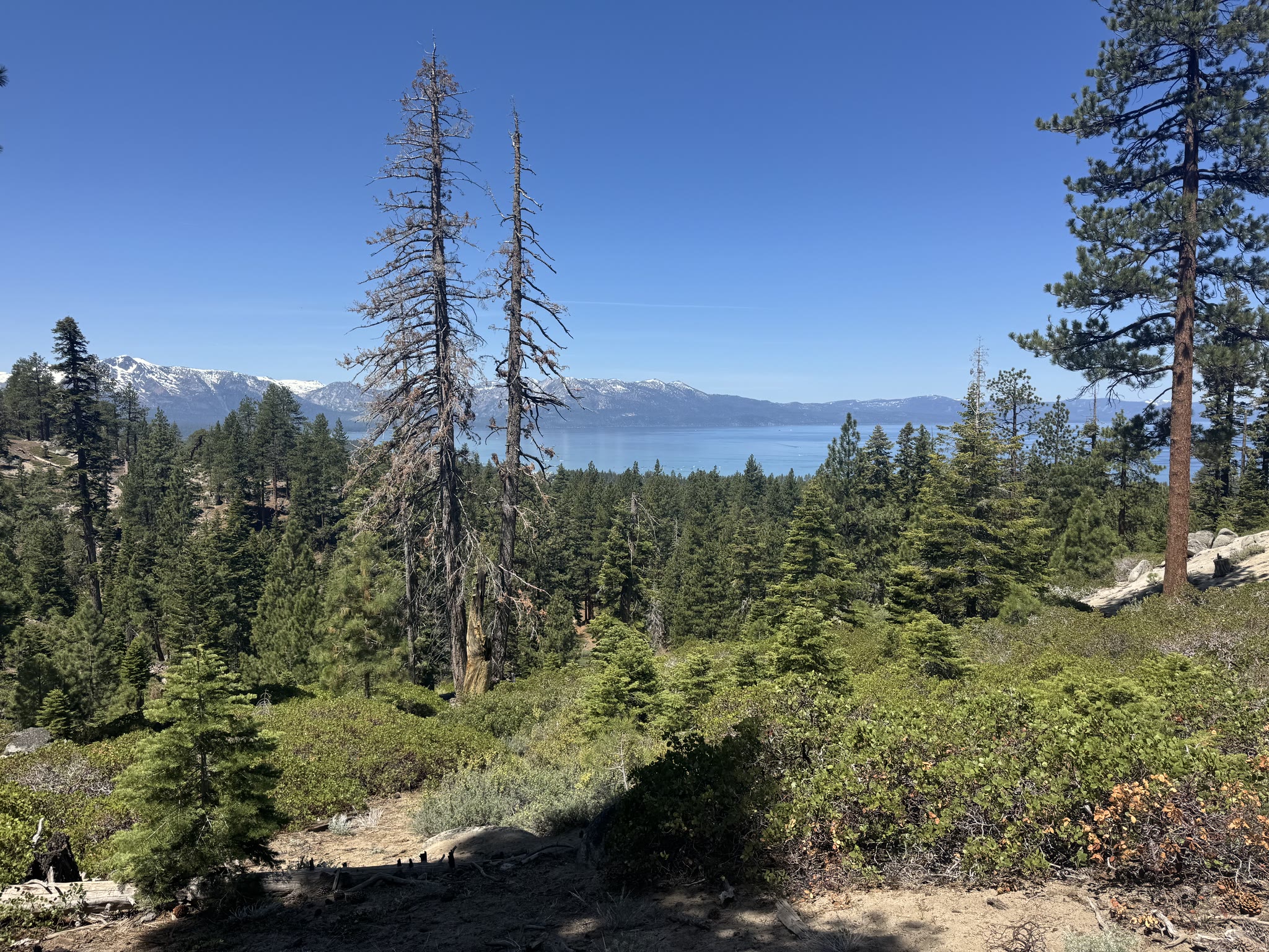
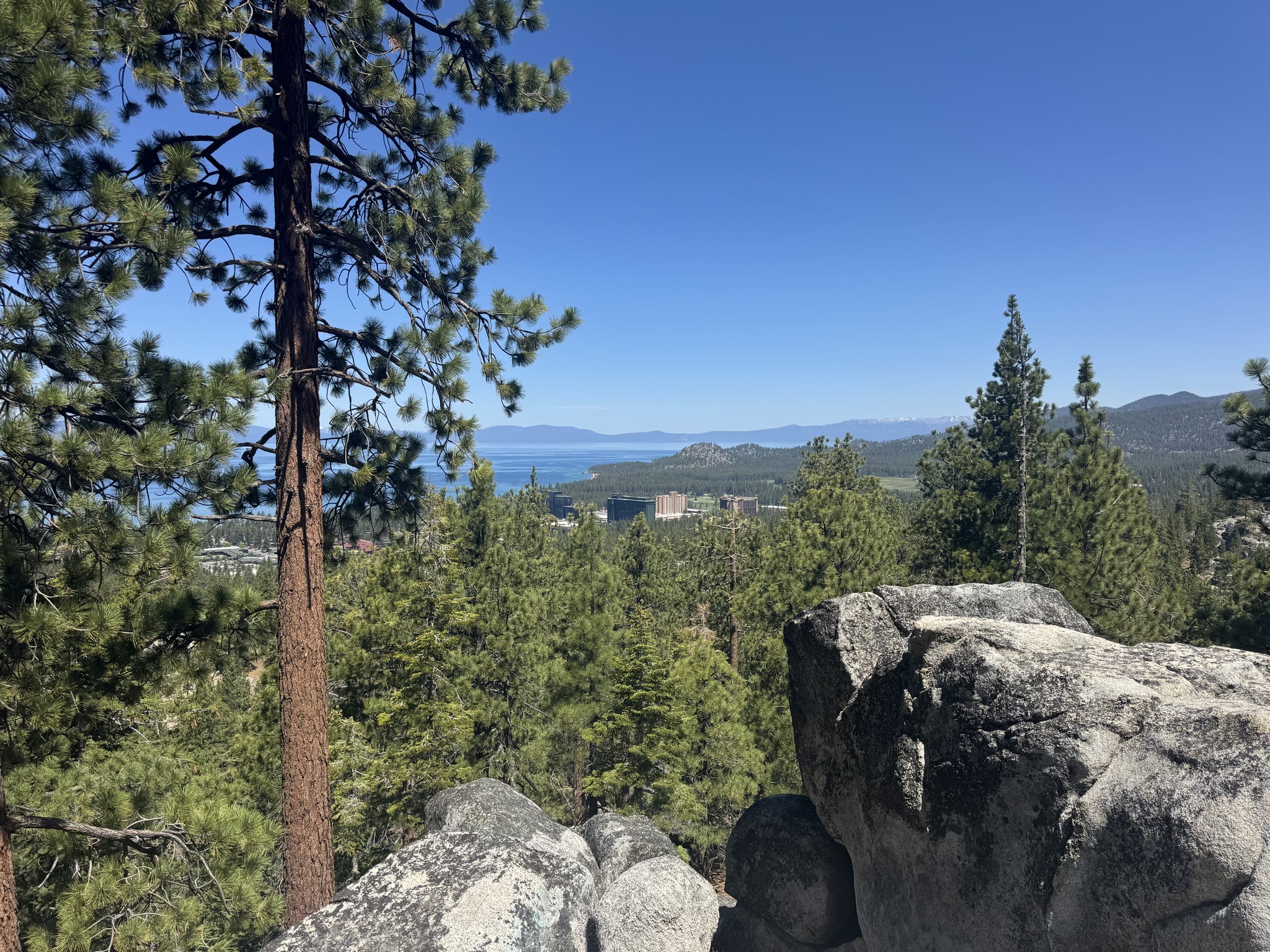
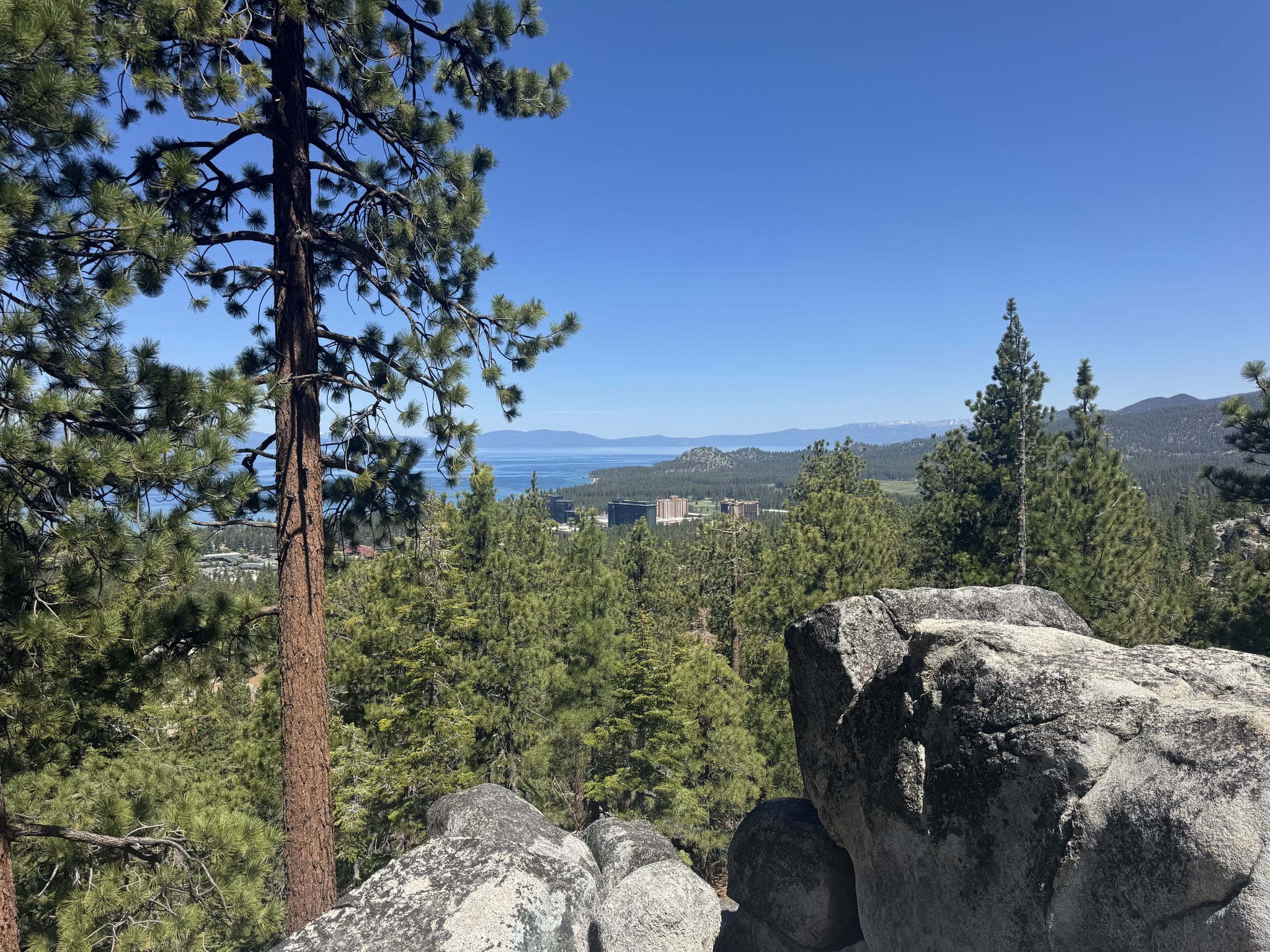
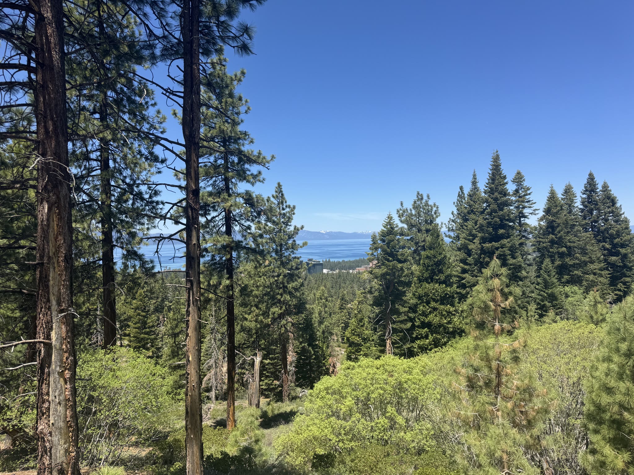
After settling in I took a hike that climbed up out of South Lake Tahoe with the lake opening up below as I gained elevation. Started in tall pines, ended above the treeline in places, with snow still on the Sierras across the water in late May:
The lake from up high is genuinely different from the lake at street level. From the trail you can see the bowl of it — how far the opposite shore actually is, how the water gradient runs from bright turquoise near the shallows to deep navy in the middle.

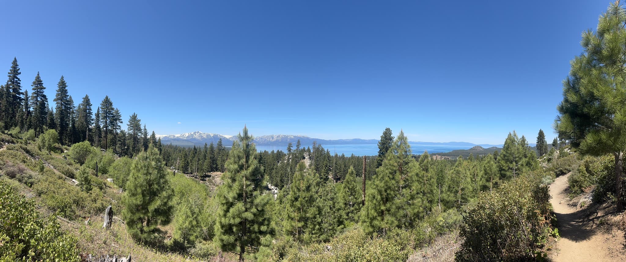
A short pano clip from the trail — sound on if you want the wind:
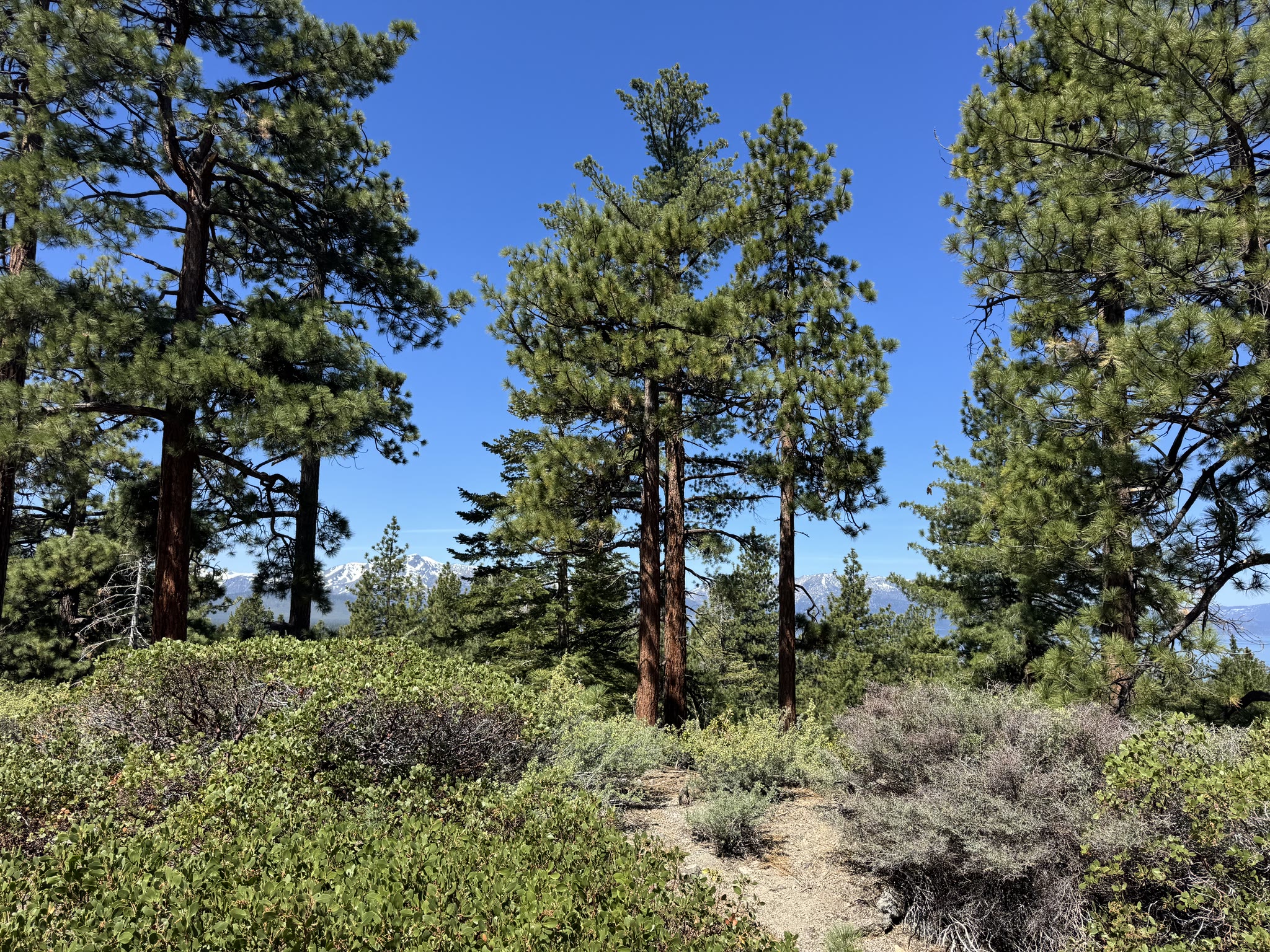
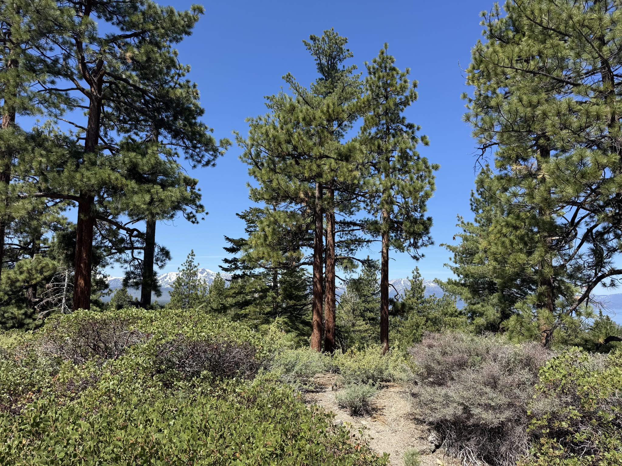
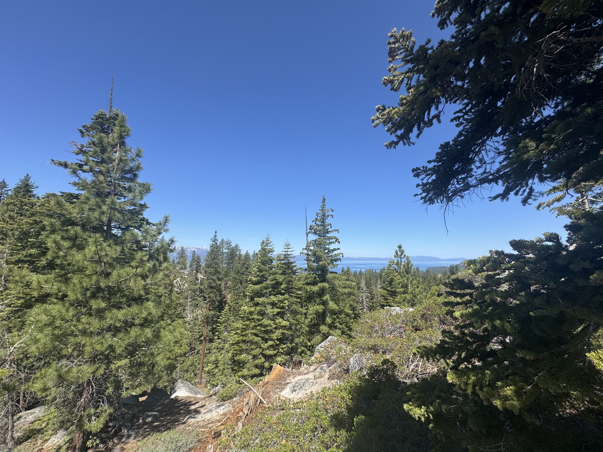
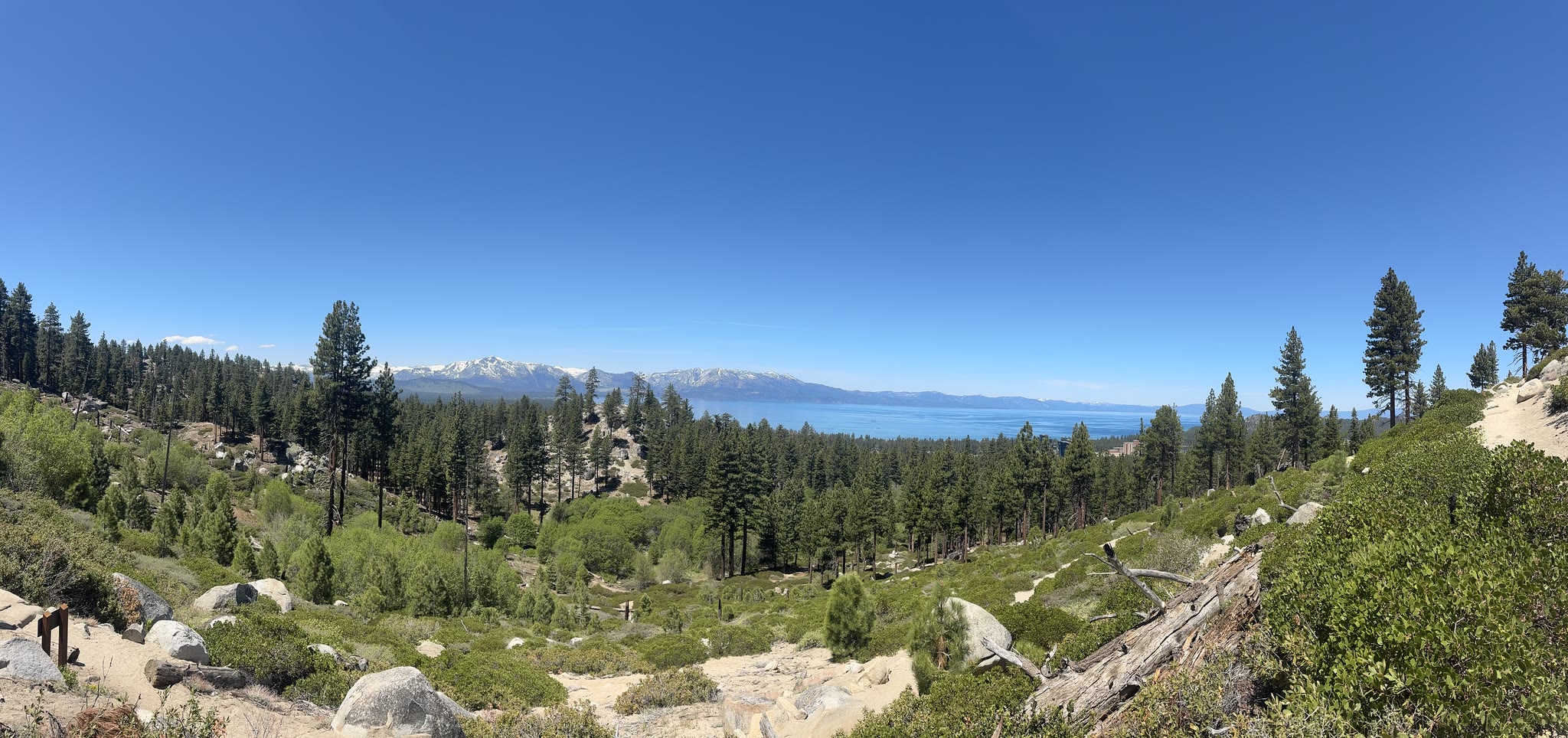
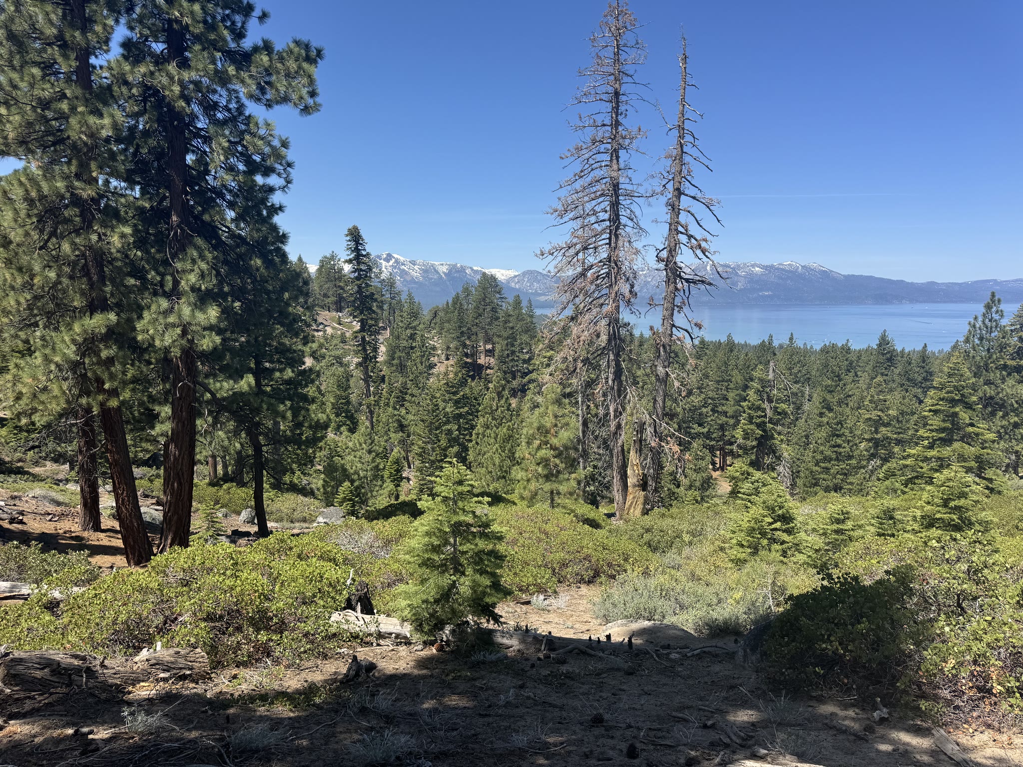
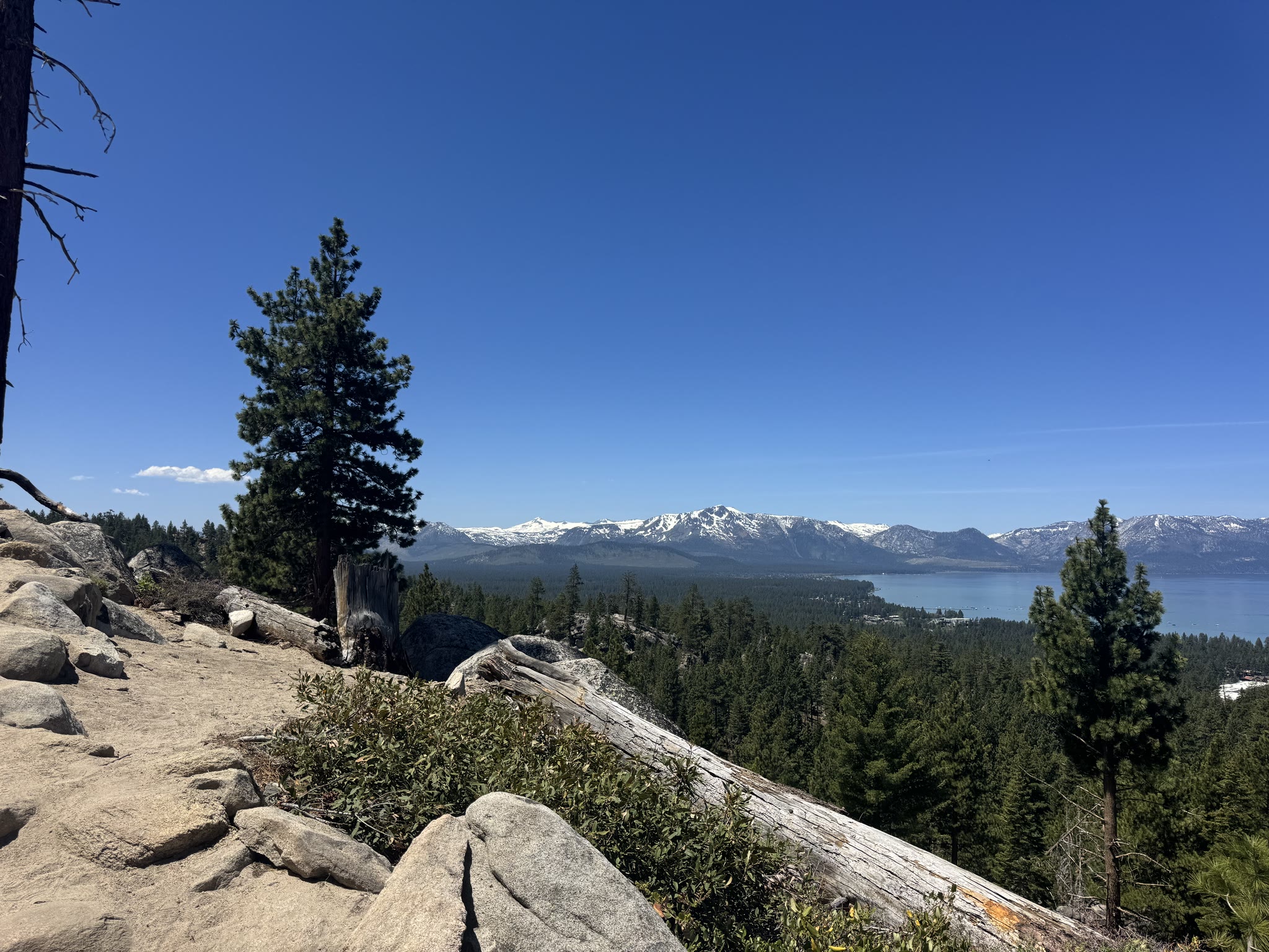
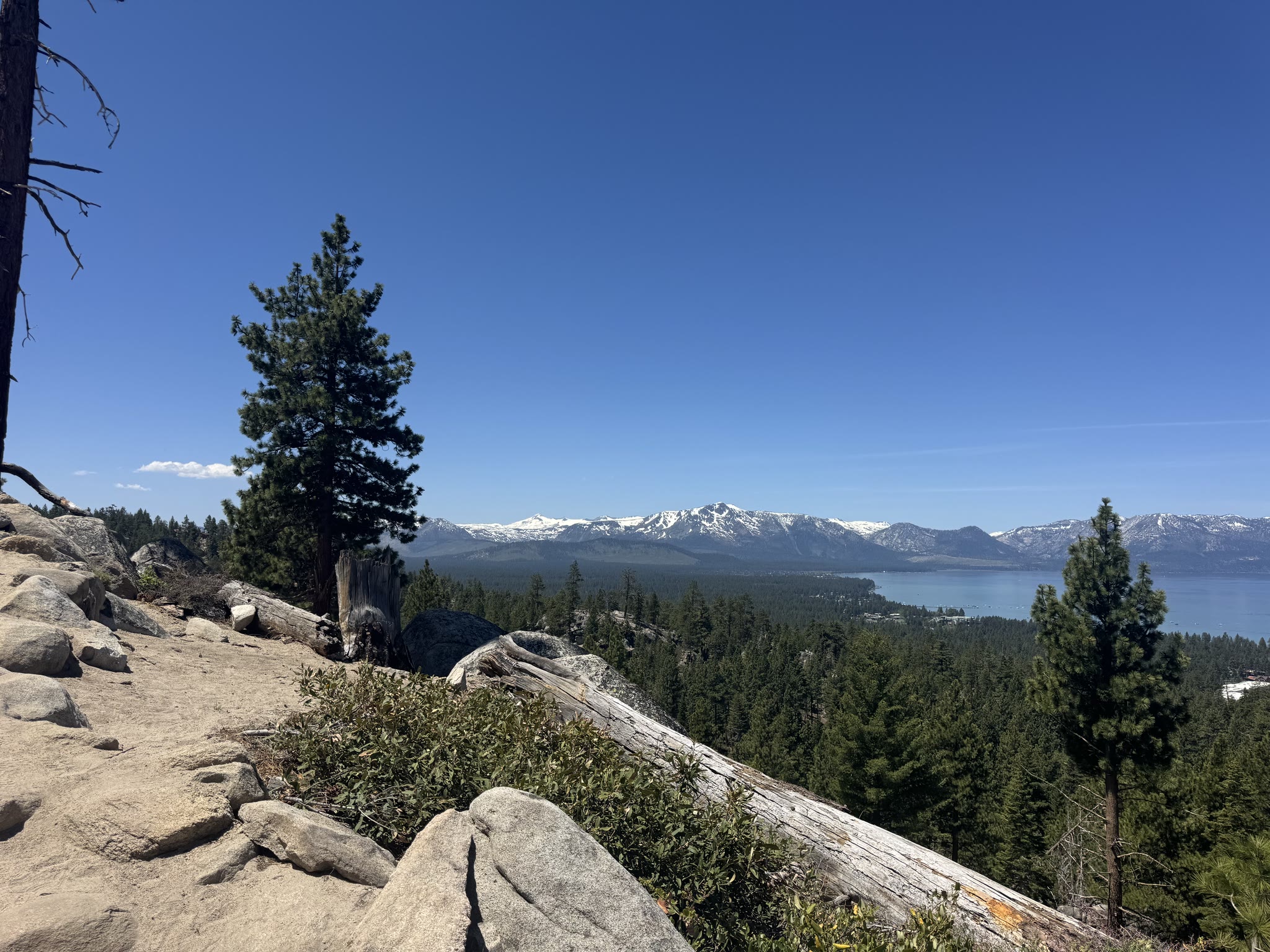
Snow on the Sierras, in late May
Tahoe sits at ~6,225 ft. The peaks ringing the lake go up another 4,000 to 5,000 from there, and the snow on them in late May was still substantial. From the trail it stacked perfectly with the deep blue of the water:
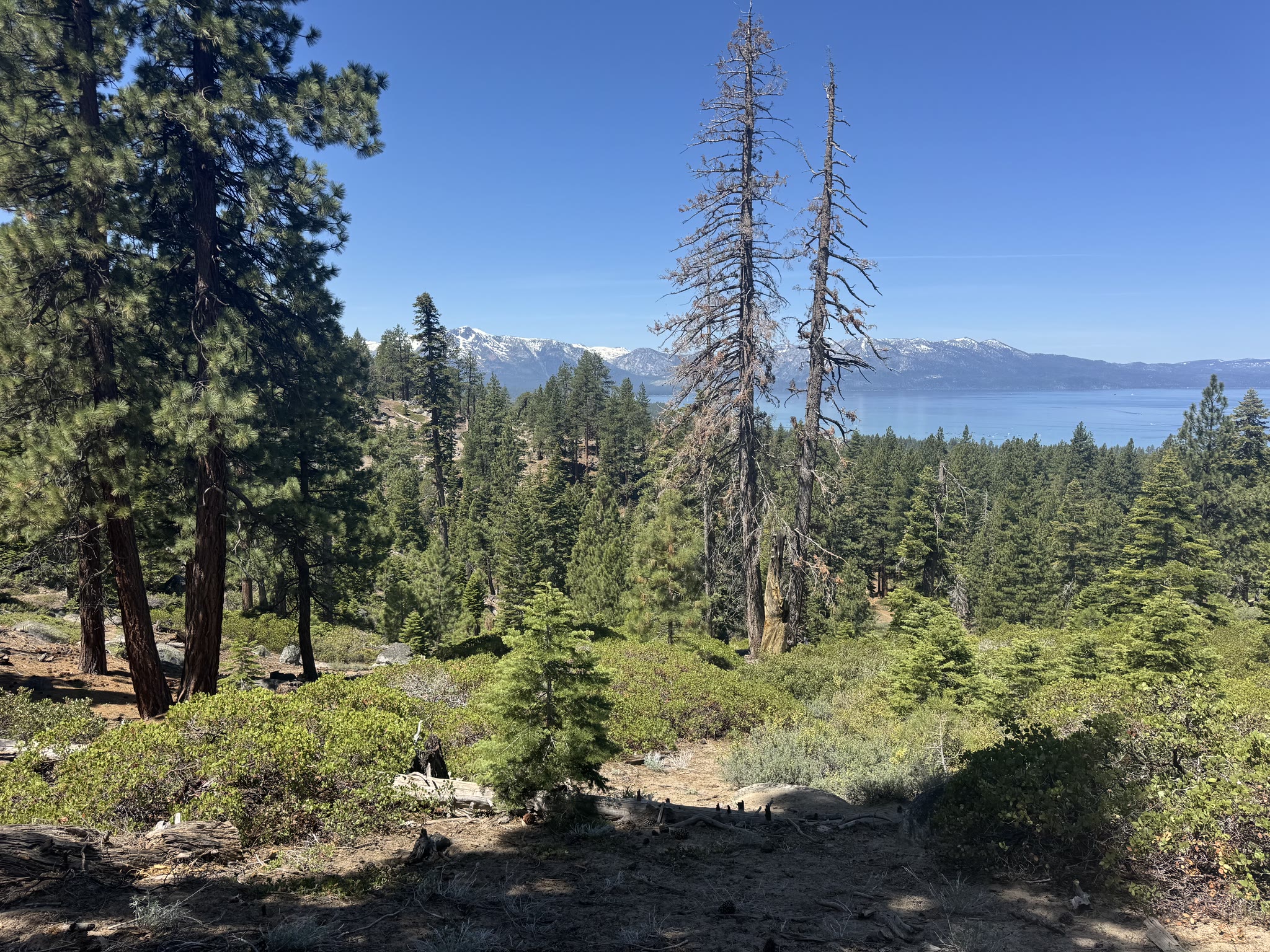
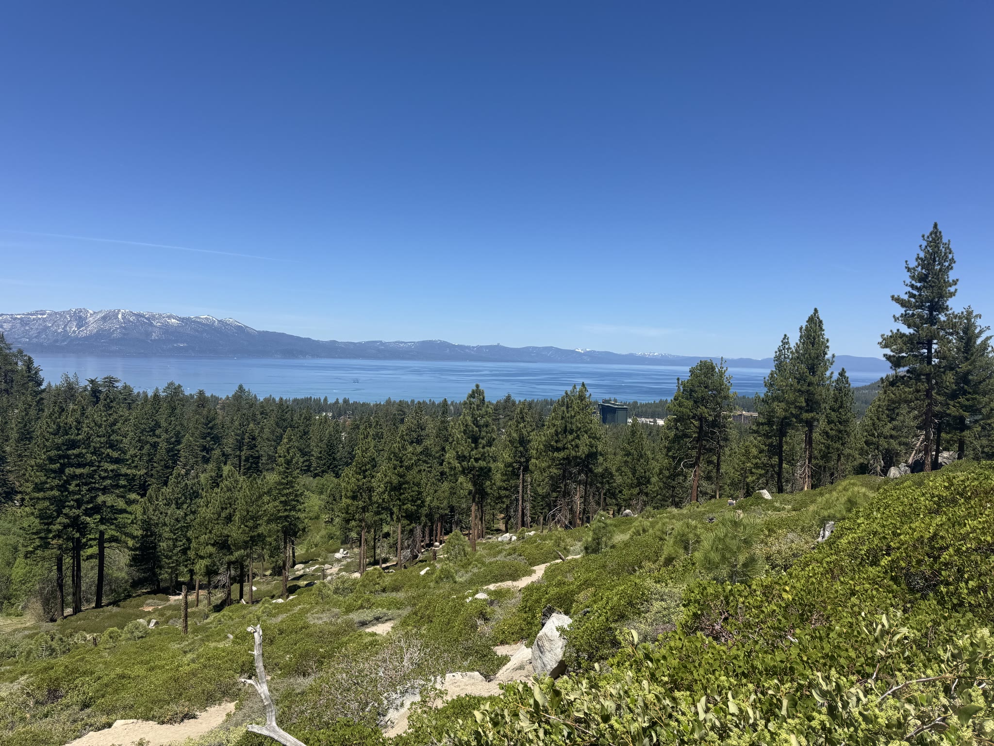
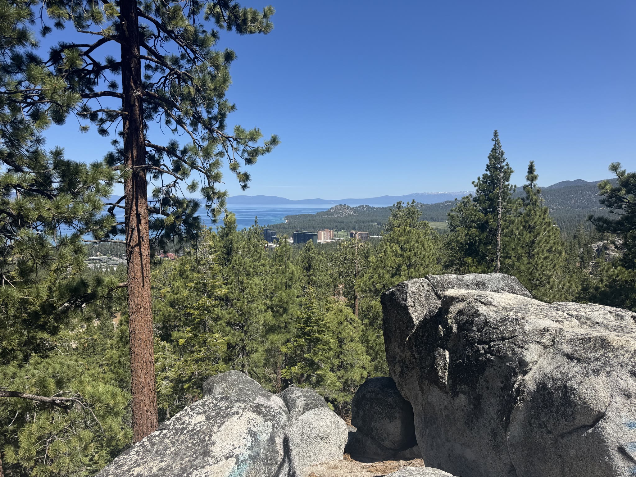
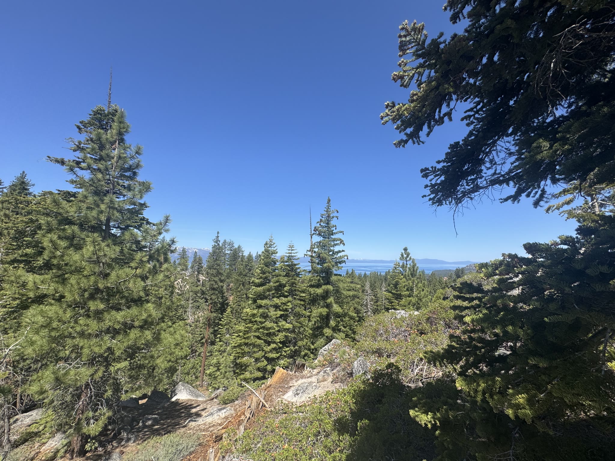
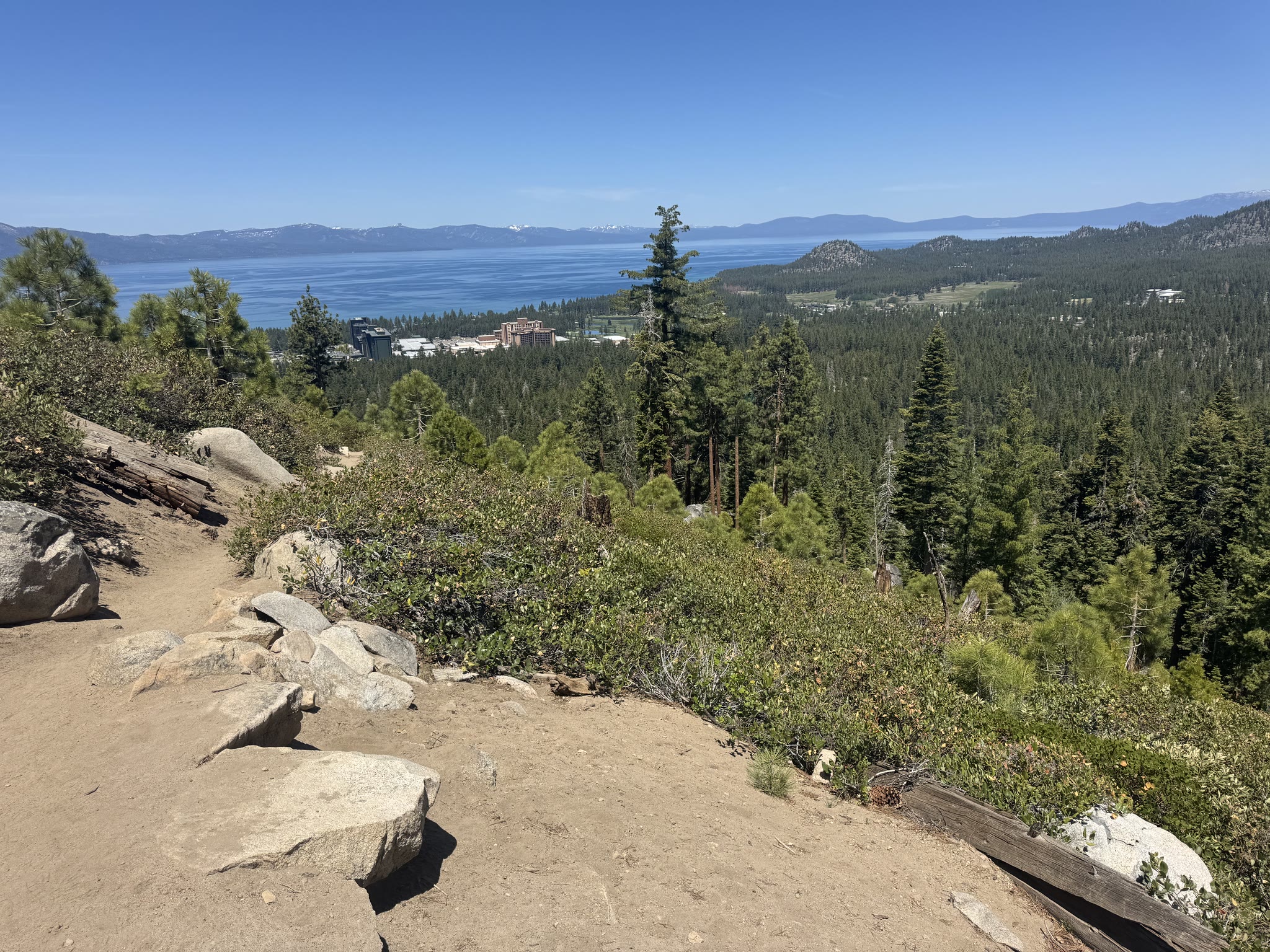
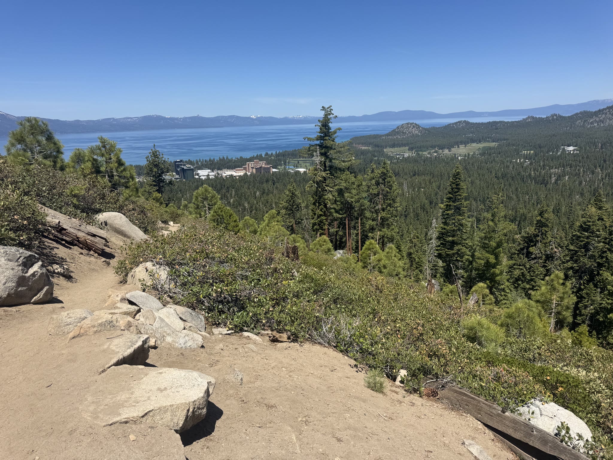
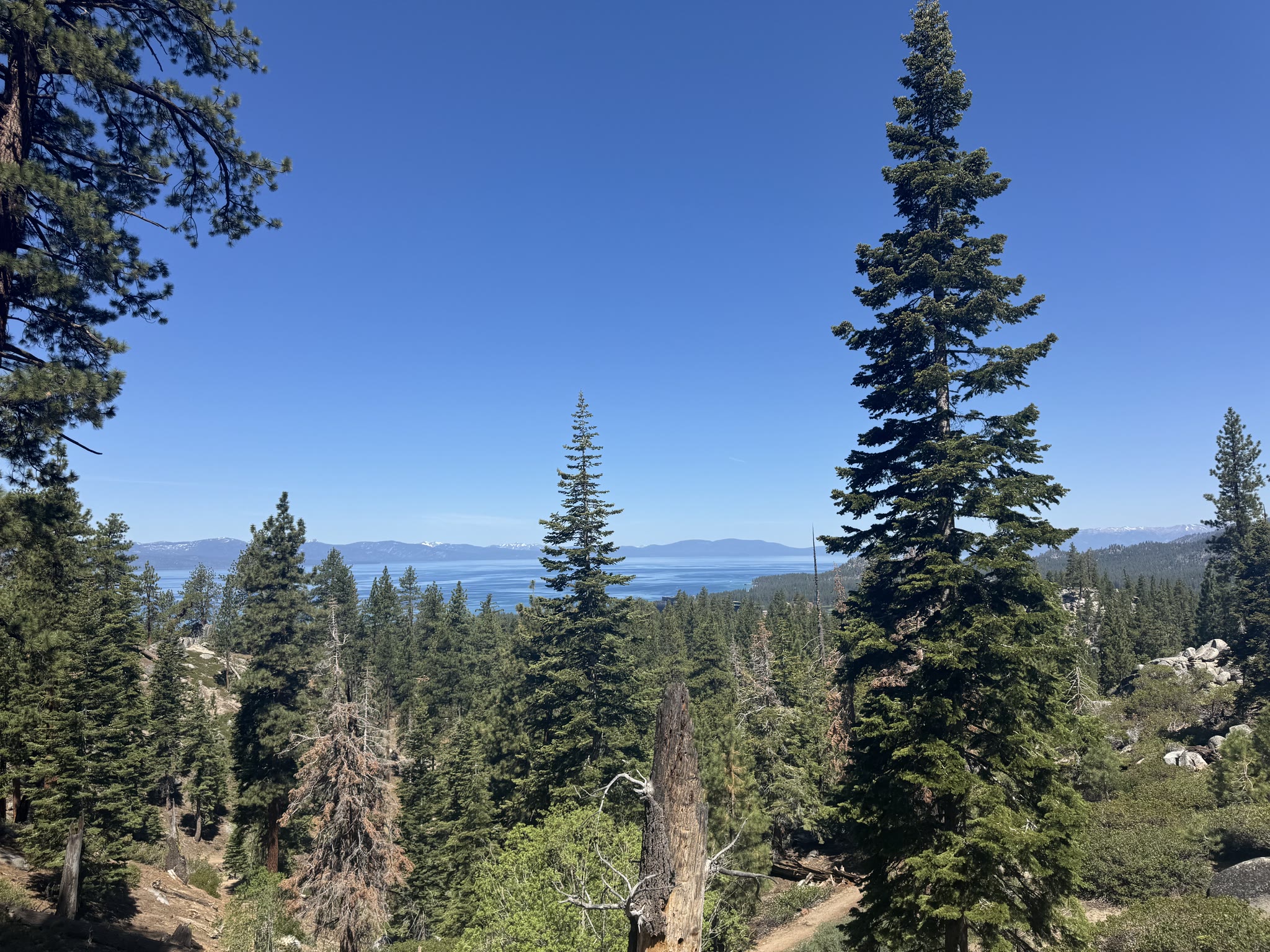
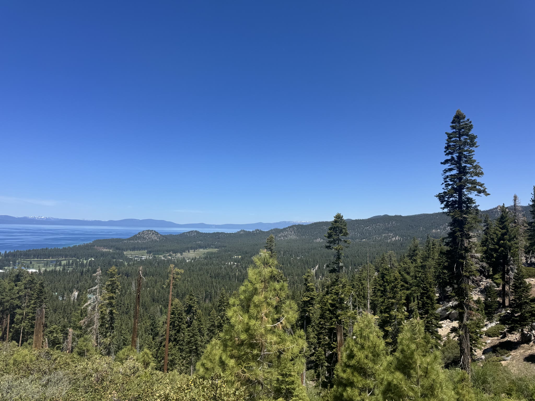
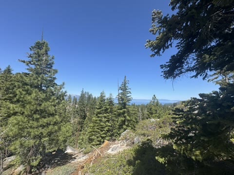
Lake views, mid-trail
Most of the second half of the hike was just the lake, in different framings, every few minutes. The water depth shows in the colour gradient — Tahoe is the second-deepest lake in the United States, more than 1,600 feet at its deepest, which is why even at this elevation it stays a cold, full saturation blue.
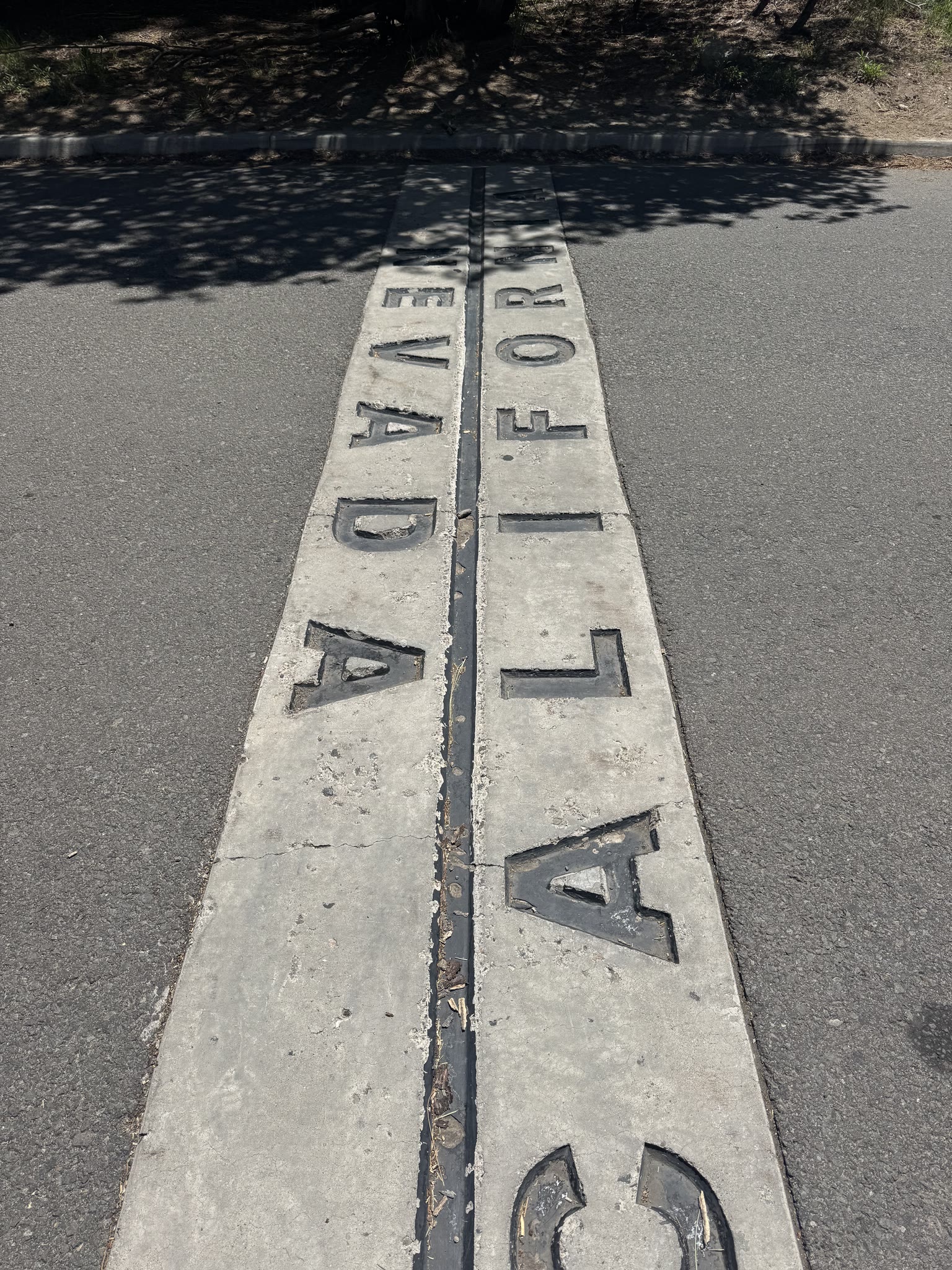
The state line, by foot
Half my hotel sat in California and the other half sat in Nevada. The state line is marked in concrete near the casinos — one of those photos you almost have to take if you're walking by:
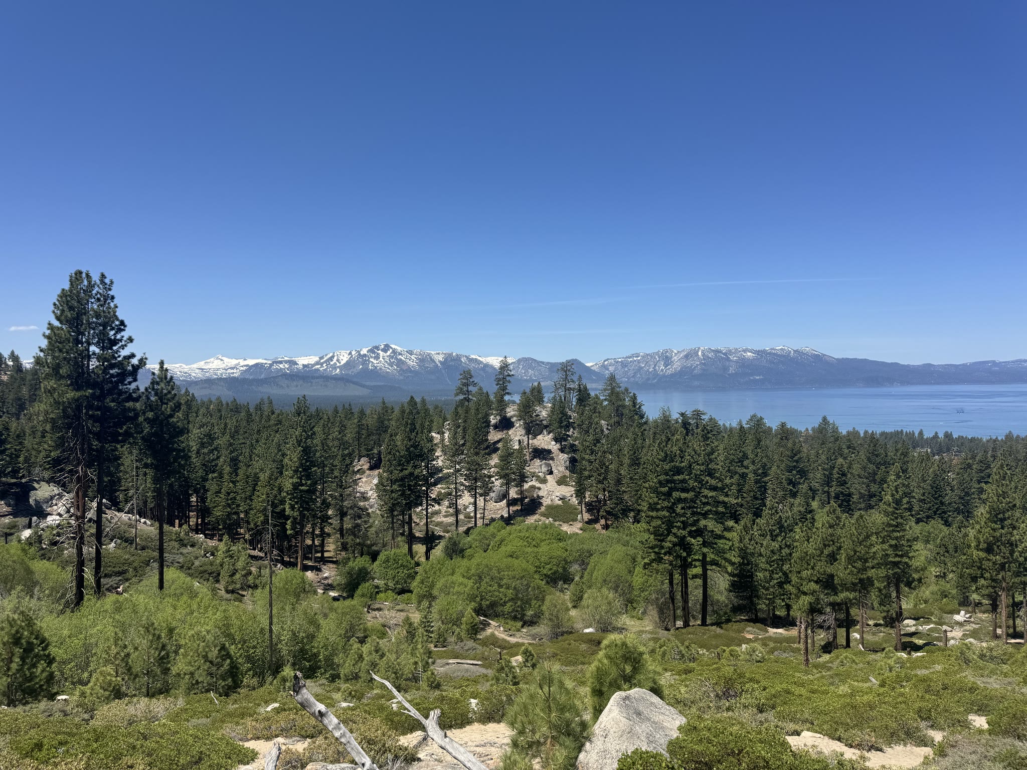
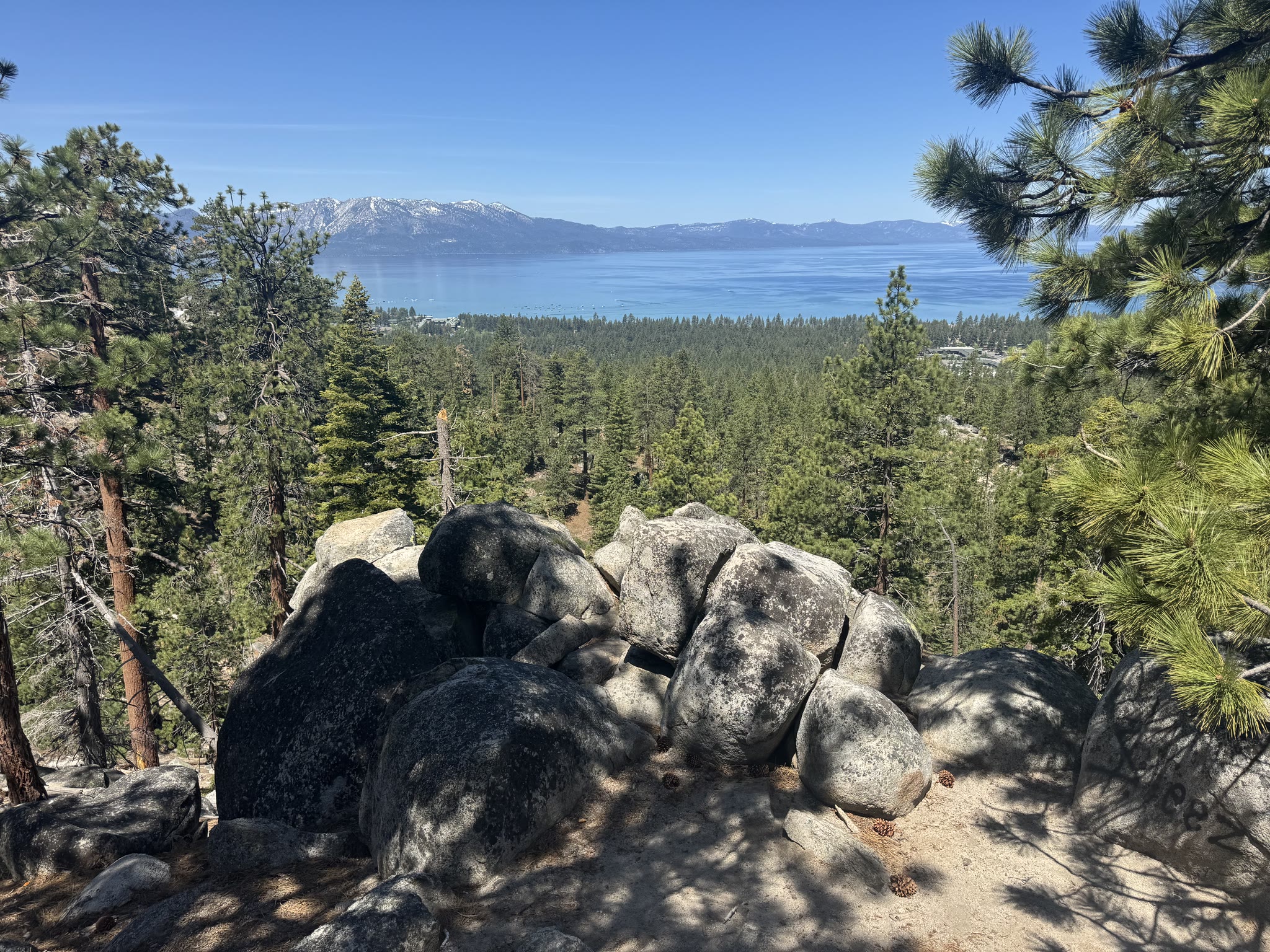
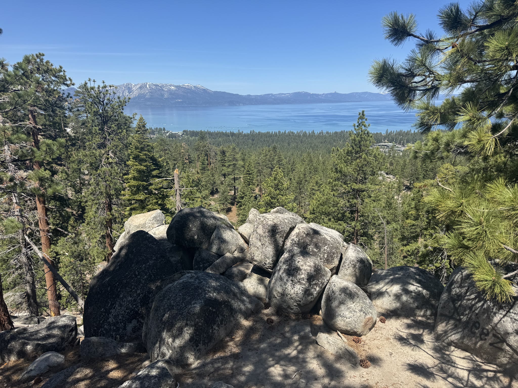
Afternoon panos
A few wider takes from the descending stretch — the trail bends back toward the lake before it drops into town:


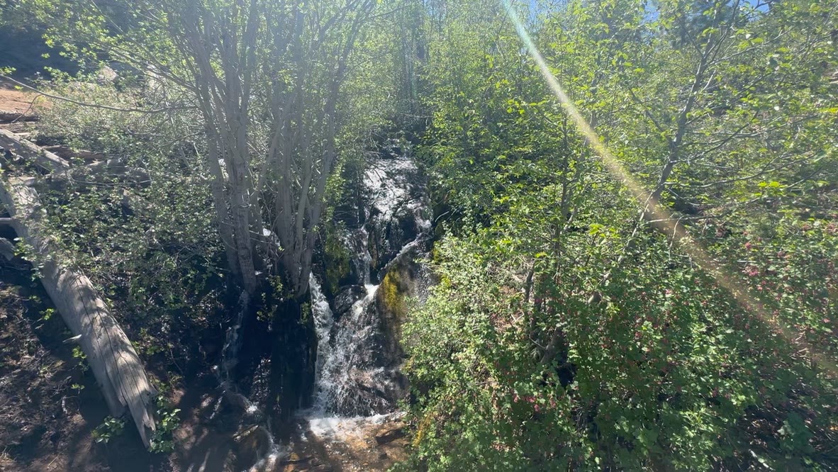
A small snowmelt cascade I found below the trail on a return loop:
Going on to Bend
That was Tahoe — two nights, one good hike, food I needed at the end of a driving day, and a lake that's hard to over-photograph. The next morning I rolled out of South Lake Tahoe on US 50 toward Carson City, picked up 580 → 395 → 139 → 97, and pointed the EV at Oregon.
If you want the rest of that drive — and the four days in Bend that followed — that's the next post.