I went to Bend with my dad when I was a kid. I didn't remember it.
A couple of years later I was up there for work and got the strangest déjà vu — I knew I'd been on those streets before, even though nothing in my head said so. That's how this trip got planned. Late May 2025, a few days off, time to actually be here on purpose. Solo trip — I drove up, walked everywhere, ate well, and drank a beer I now think about more often than I'd like to admit.
The drive there is half the trip
Genuinely. This trip rolled directly out of South Lake Tahoe, so the drive into Bend was a full day of its own — and I drove it in an EV, which made the route a little more interesting.
I left South Lake Tahoe on US 50 into Carson City, then 580 up into Reno and 395 north all the way to Susanville. Charging stops in Reno and Susanville gave me a chance to stretch my legs and look at the map. North of Reno, 395 turned into one of those drives where the towns get quieter the further you go. Milford, on Honey Lake, was practically silent.
From Susanville I cut west on California 139 and the world got even quieter. Long stretches with no oncoming cars at all. Past Eagle Lake, I detoured down Susanville Road into the town of Bieber (yes, like the singer?), then up Bieber Lookout Road to climb back to 139 and on through Tulelake.
The whole back half of that drive is dominated by Mount Shasta. Majestic, white-capped, throwing a perfect lenticular cloud off its summit because the mountain is so tall it makes its own weather. It became the anchor point of the drive — every glance forward was Shasta getting bigger.
Crossing into Oregon, I pulled off at the Grocery Outlet on Hwy 39 to charge again, and grabbed a KFC next door. The chicken was meh; the biscuits and honey are the only reason I ever go.
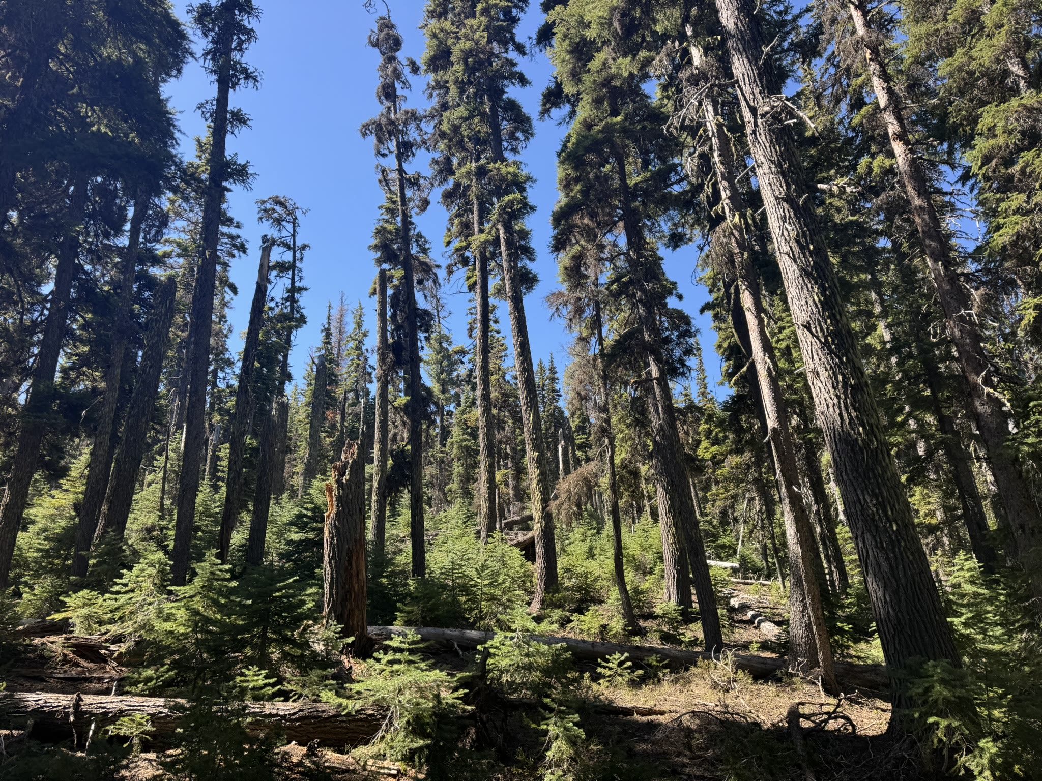
From there it was 97 north to Bend through some of the most densely packed forest I'd seen in years — towering ponderosas on both sides, trucks and traffic moving fast, white-capped Cascades flickering through the trees on the left. By the time the snowcaps started openly peeking over the sagebrush, I knew I was close.
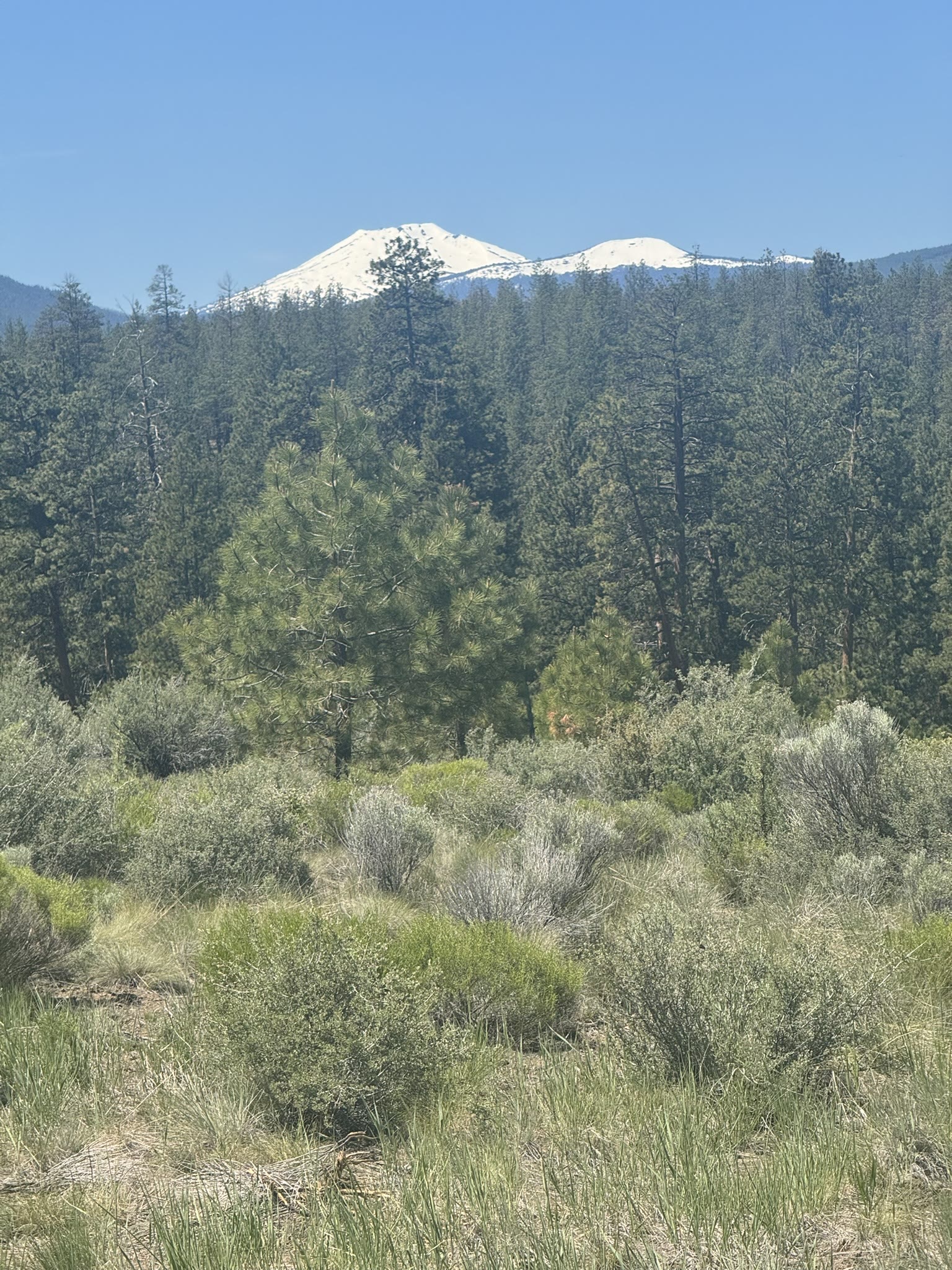
There's a stretch where the road just opens out and the Cascades line up in your windshield. I pulled over more than once. I'd recommend you do the same.
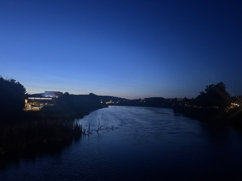
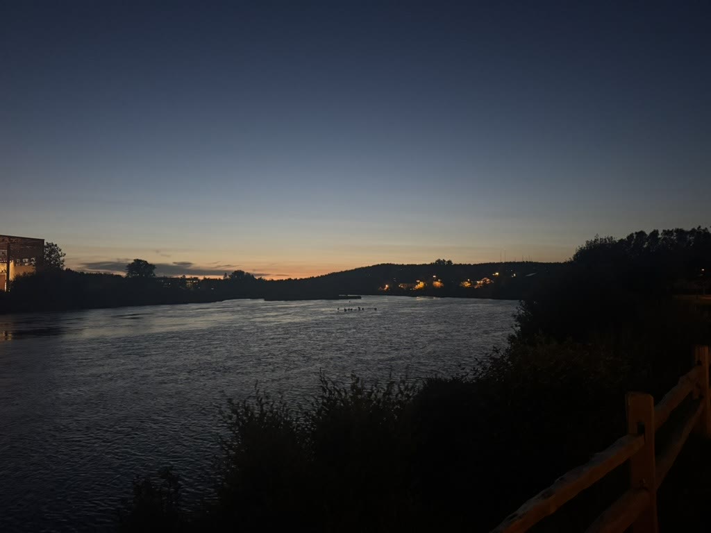
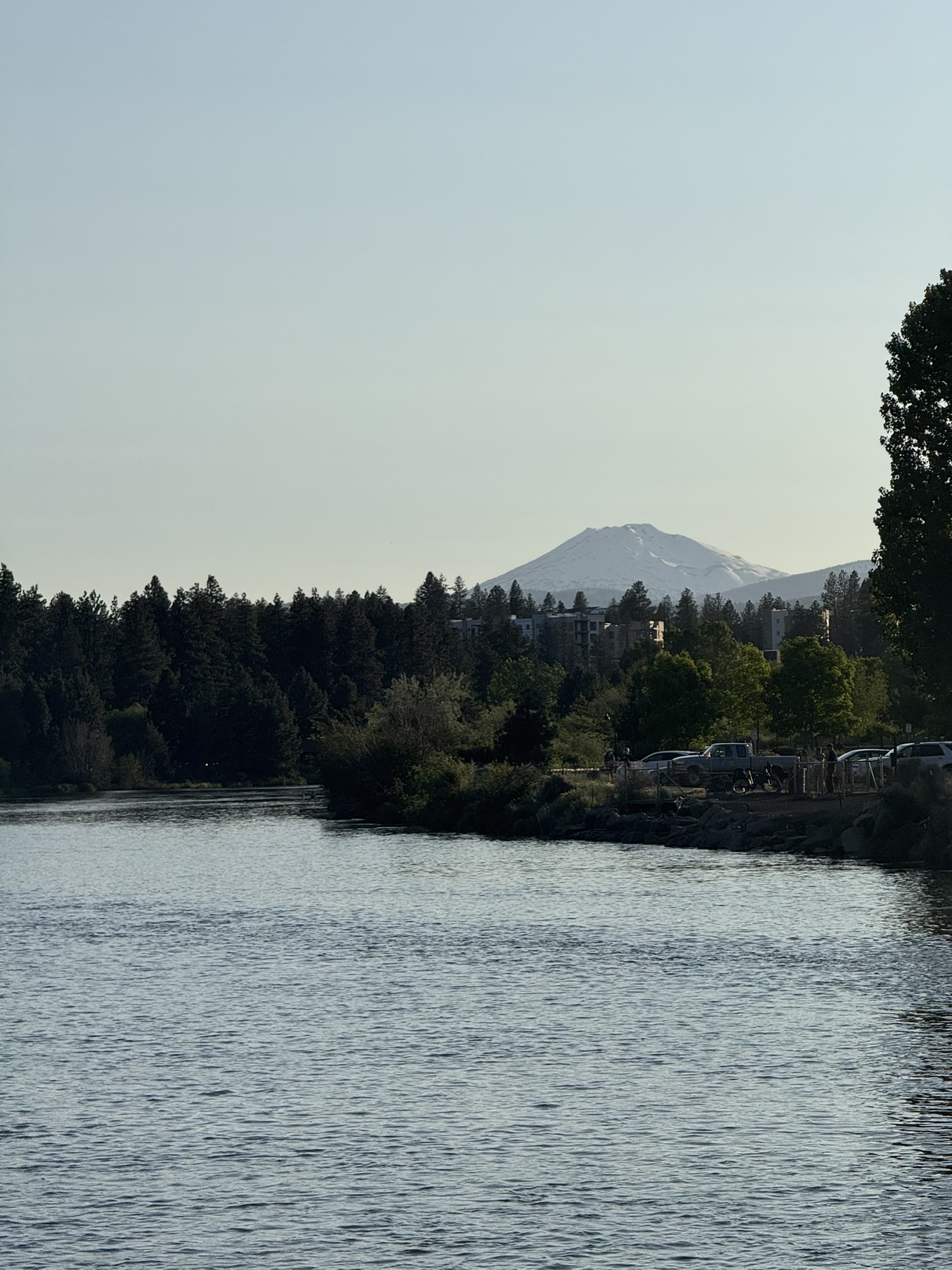
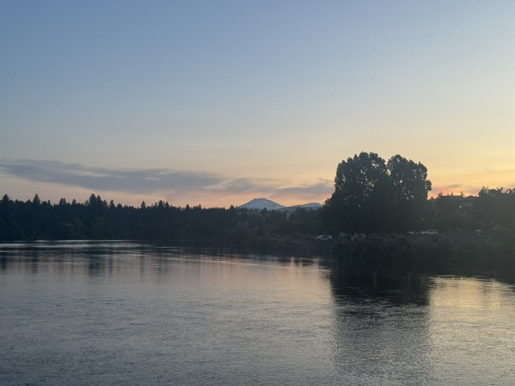
Walking the whole town
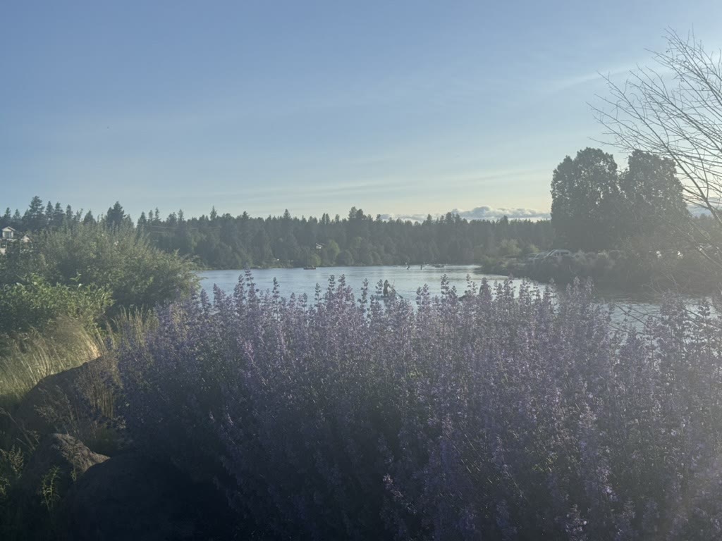
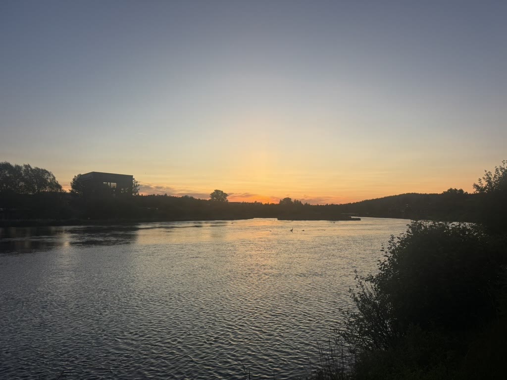
I absolutely hiked and walked the whole town. The hotel was near the river, and Bend's downtown is the kind of place where the car can stay parked. I walked along the Deschutes every day — same path, different time of day, totally different mood. Late afternoon, dusk, twilight, and the rare clear night where Mount Bachelor sits right over the water:
Monkless. The Curtain Closer.
This is the part of the post I've been waiting to write.
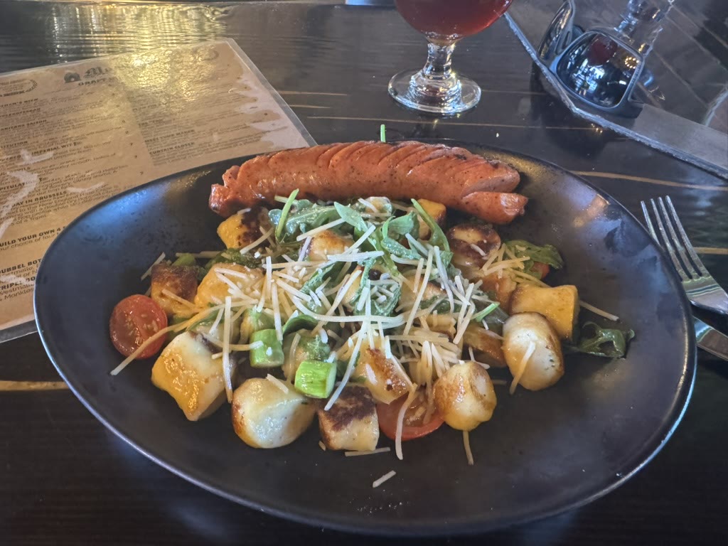
Monkless is a Belgian-style brewery on the river in downtown Bend. Their Curtain Closer is a strong dark ale and it is the best beer I had on the trip. I went back. More than once. On foot. I'd walk along the river, have a Curtain Closer (sometimes two), eat something excellent, and walk back along the river to the hotel.
It's hard to overstate how good that little routine was. The food was excellent. The beer was amazing. The walk was the bonus that turned dinner into a thing I still think about.
I want more of that beer.
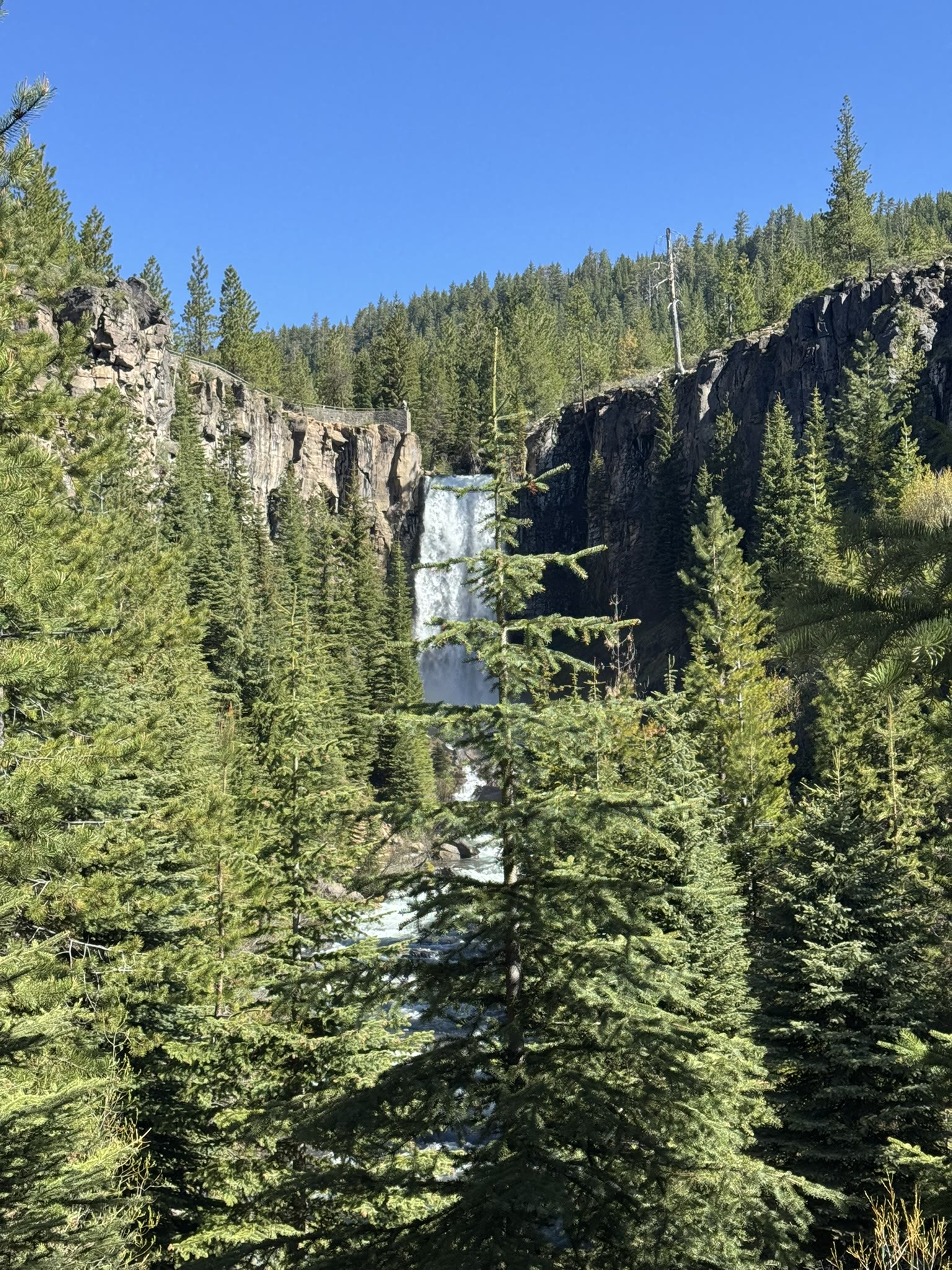
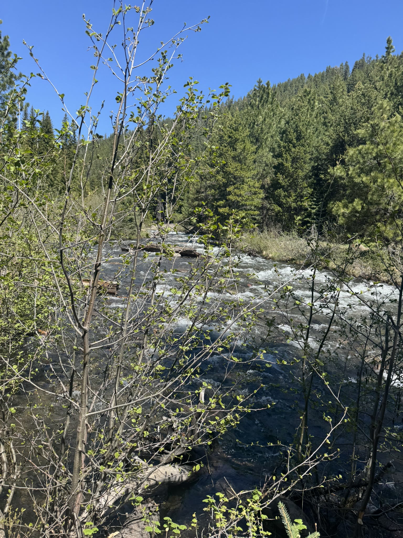
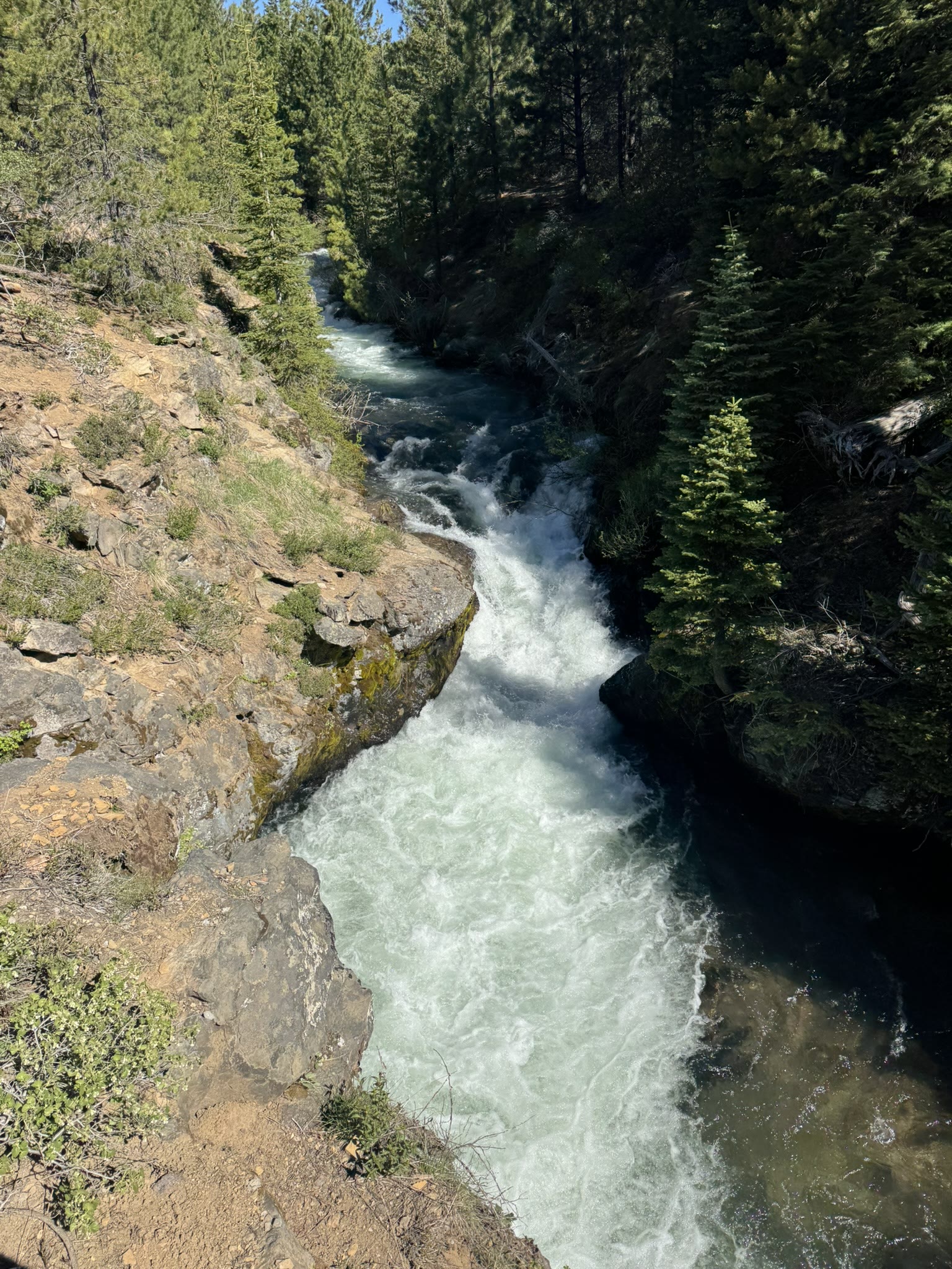
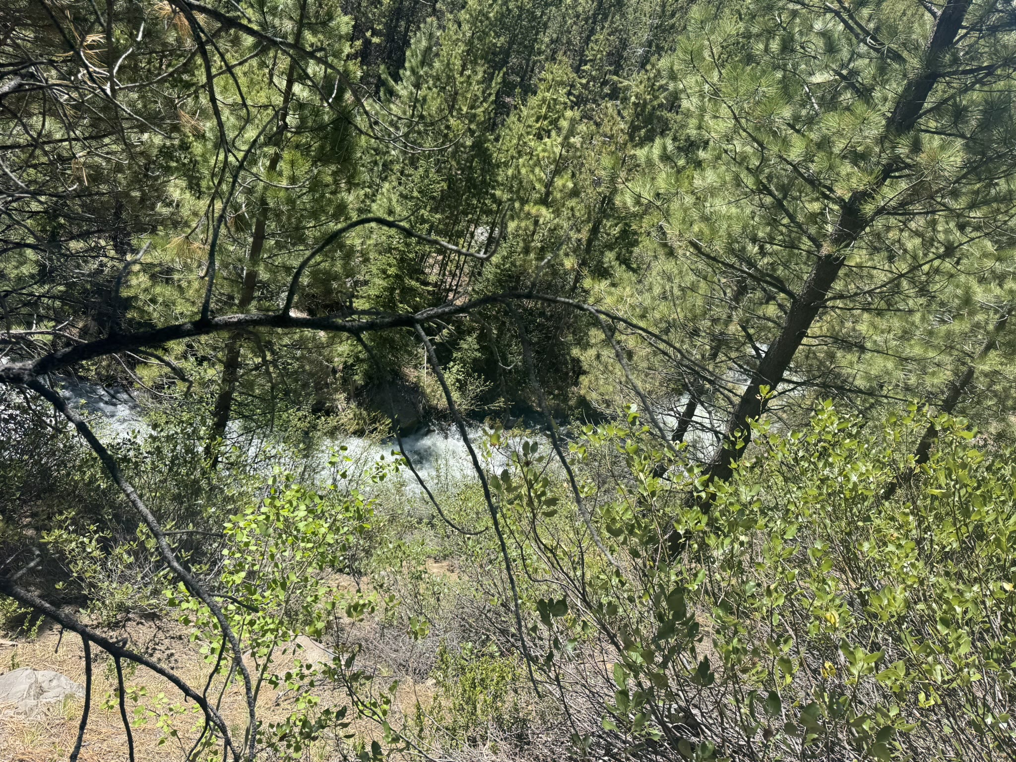
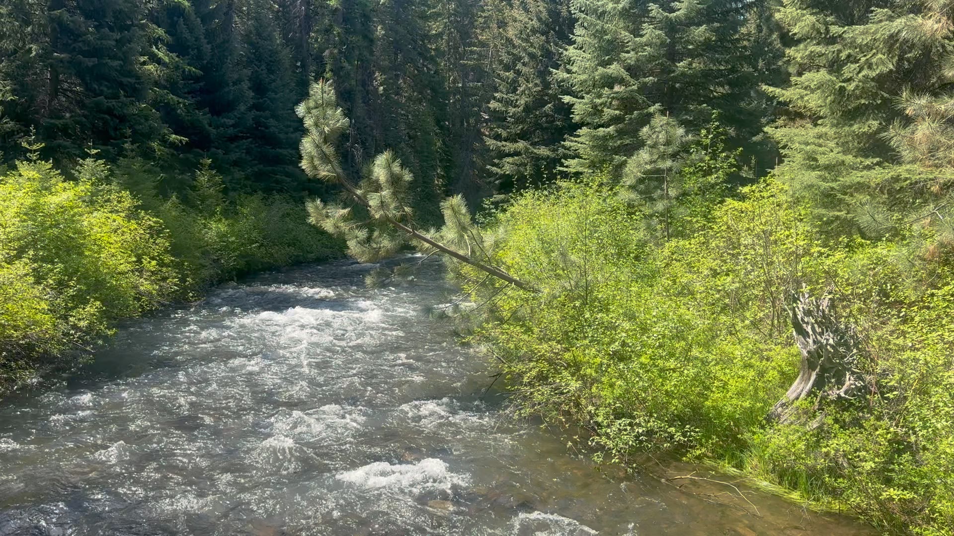
Tumalo Falls
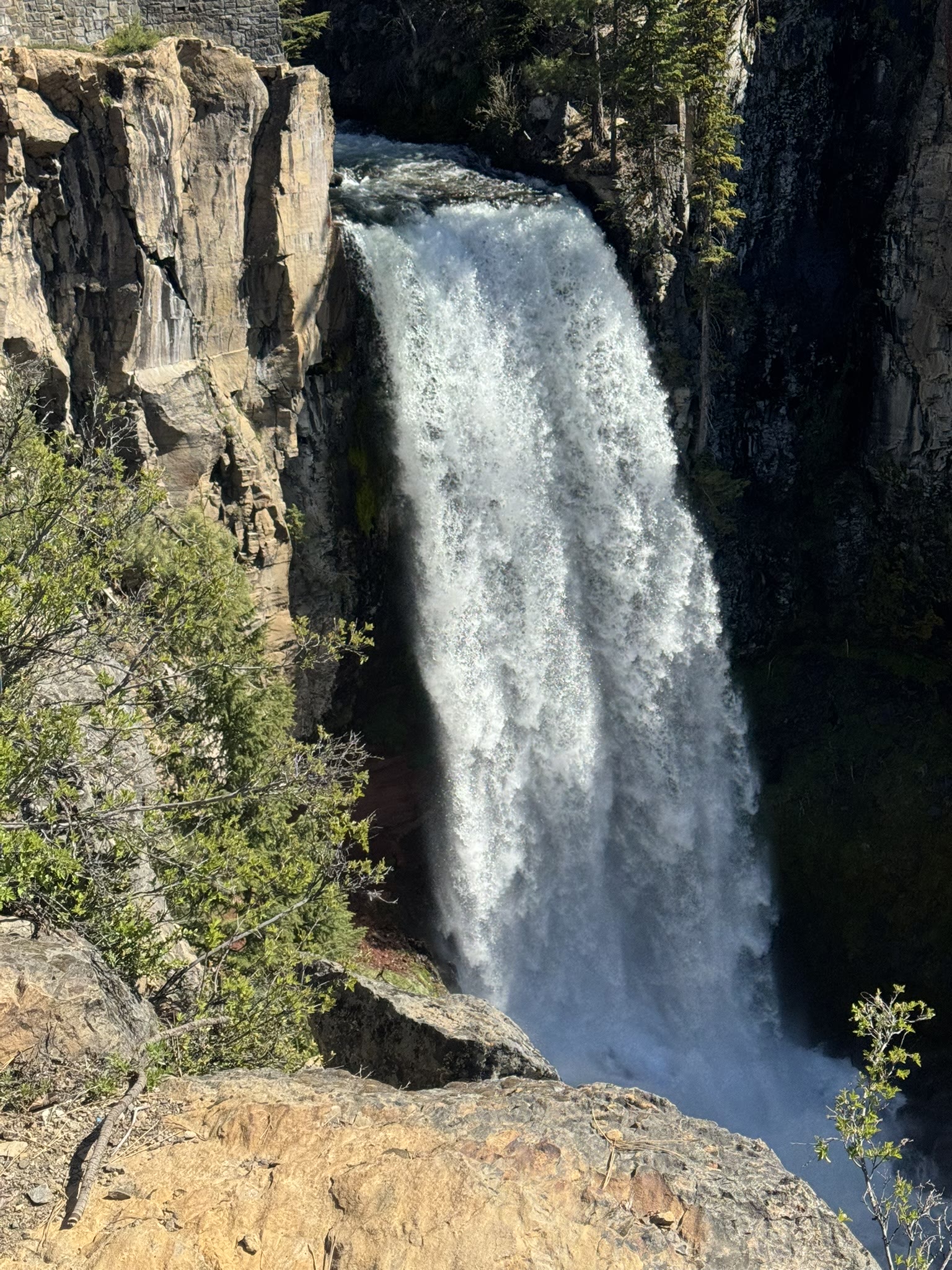
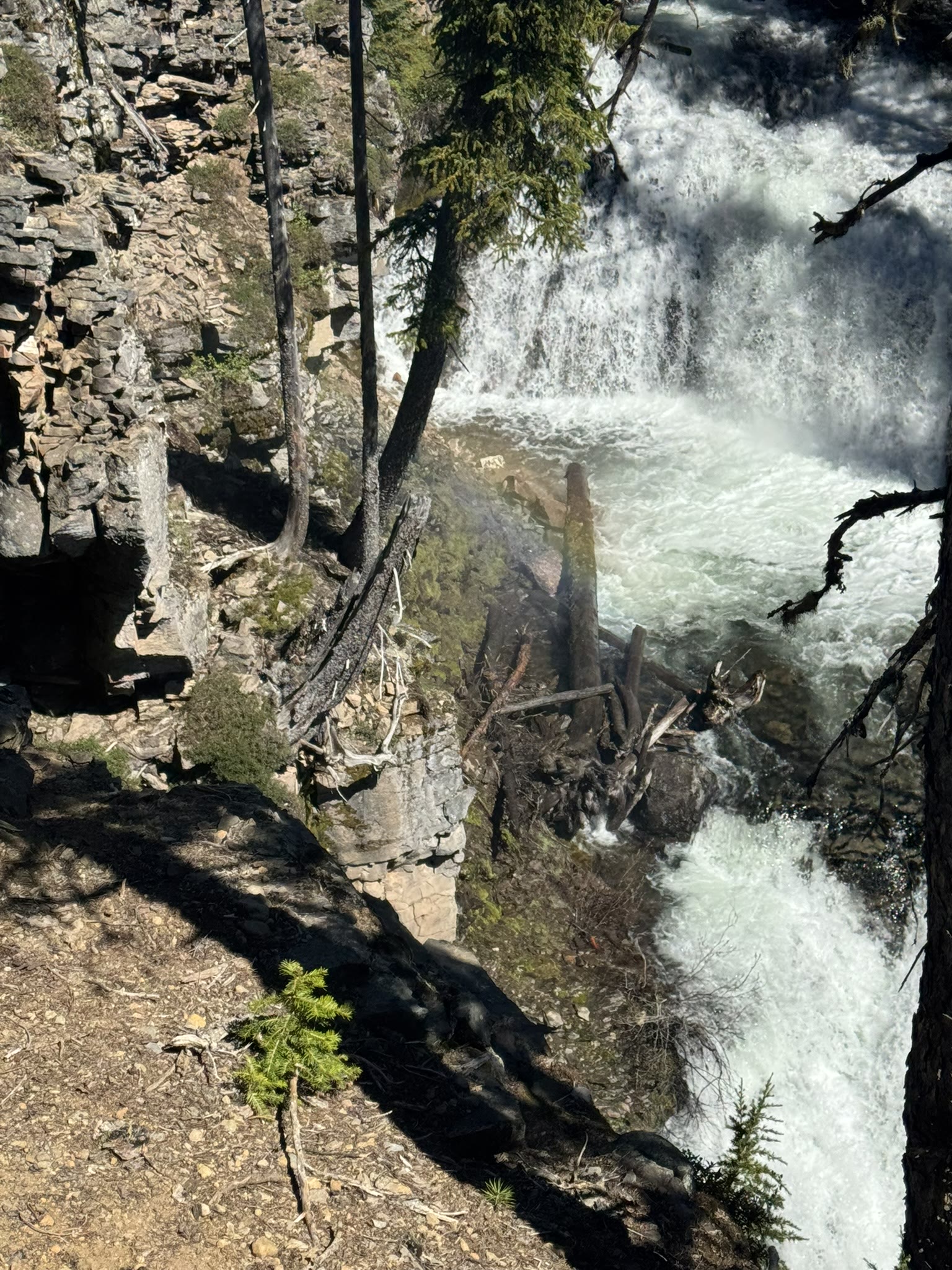
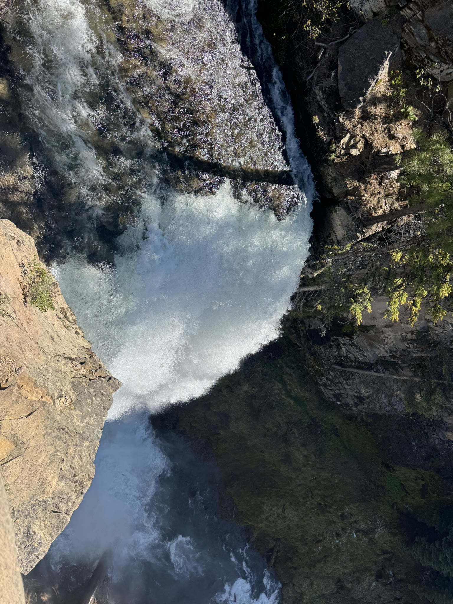
Tumalo Falls is the kind of waterfall that doesn't need a wide-angle lens to feel huge. You can hike to the top, you can hike down the canyon, you can do both. I did both. The still doesn't capture how loud it is at the rim — turn the sound on:
The trail in still has snow patches in late May:
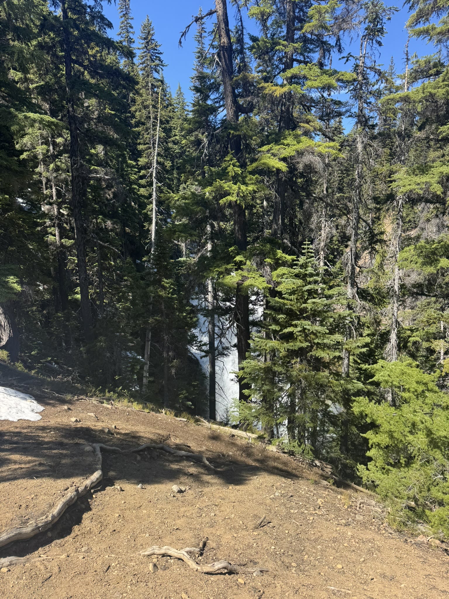
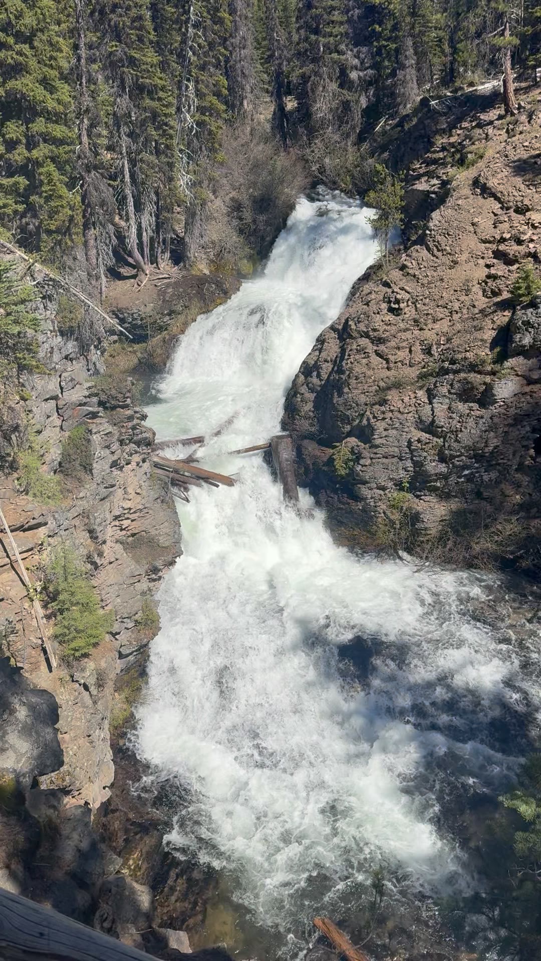
The falls themselves, walked around for different angles — the closer view, the look-down from the rim, and the glimpses through the trees on the descent:
A few seconds of the cascades on the canyon descent:
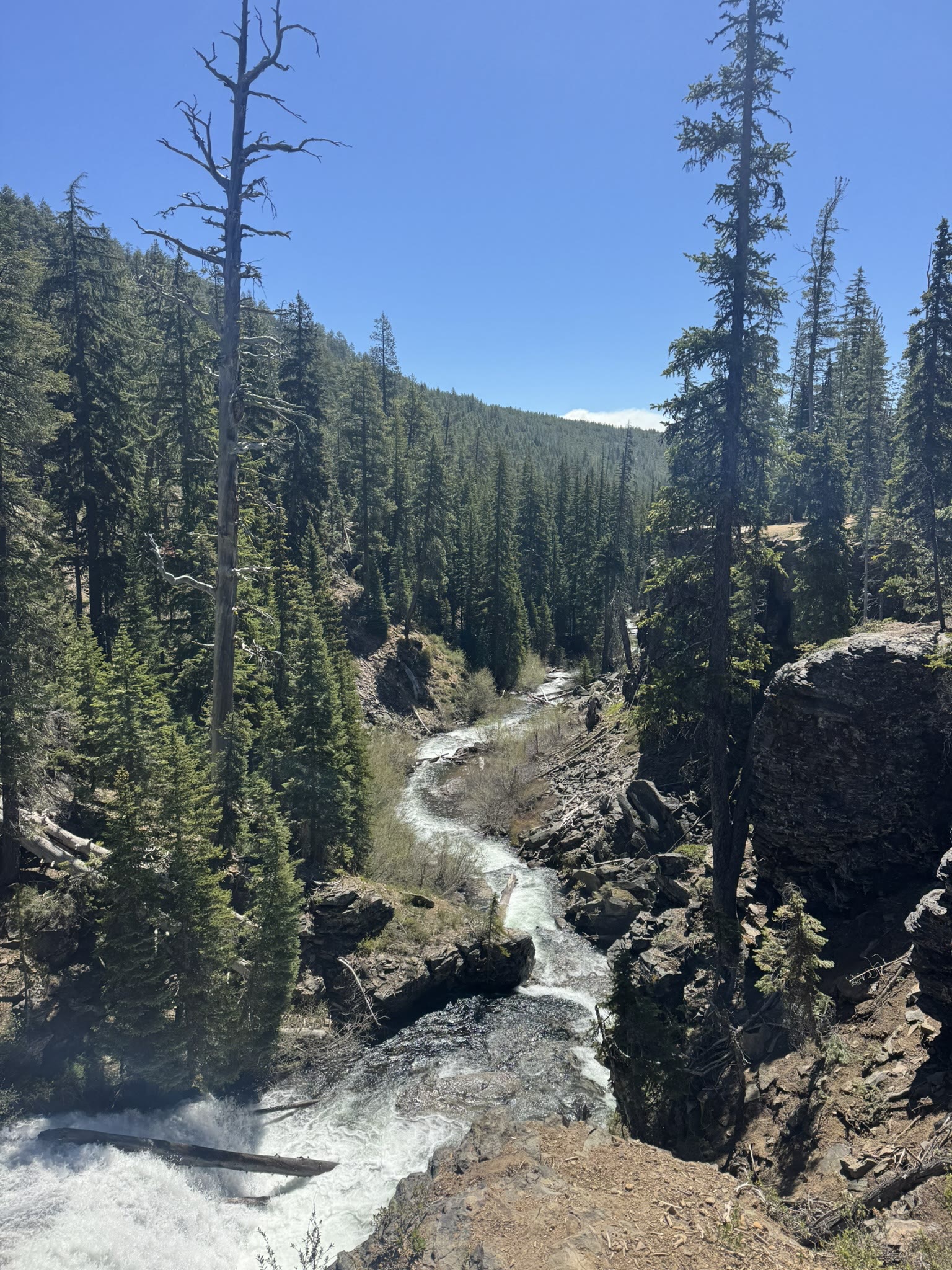
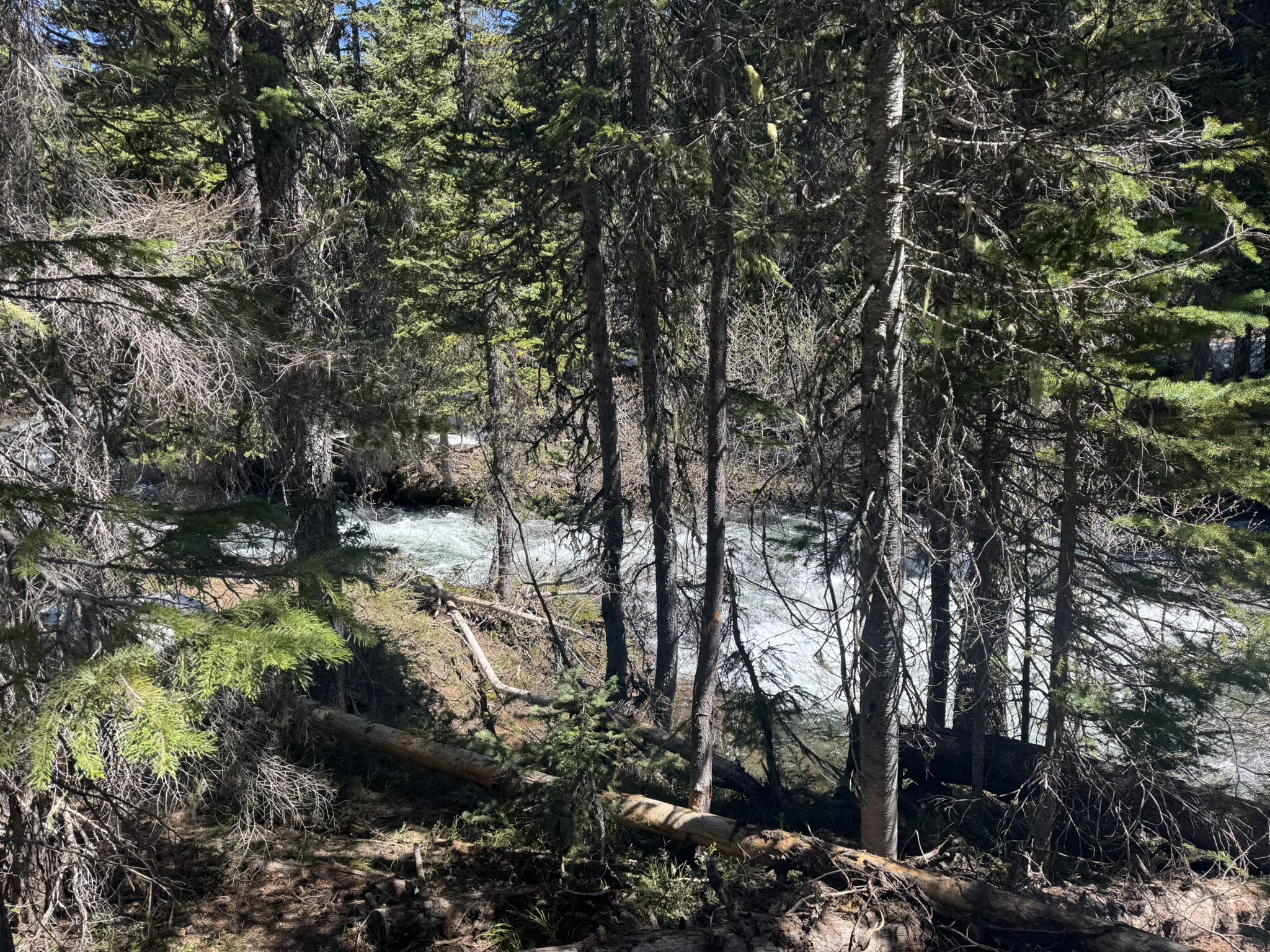
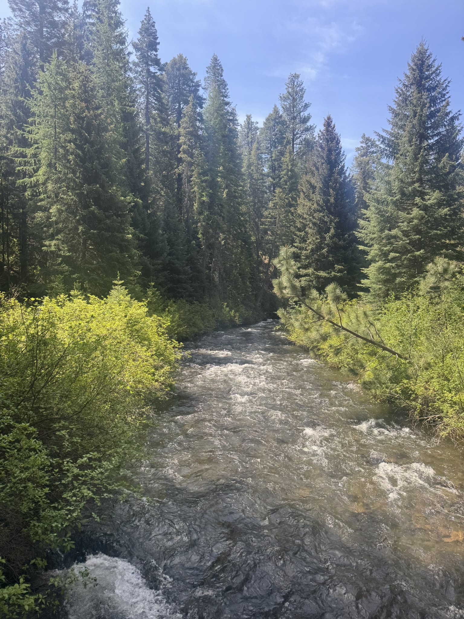
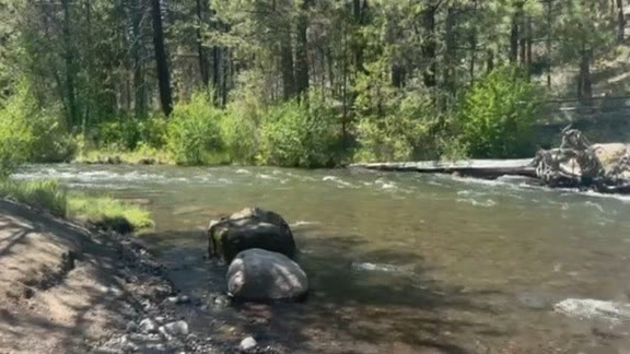
The whole creek is stunning all the way down — meltwater clear, cold, fast at the top, easing off as the gradient flattens:
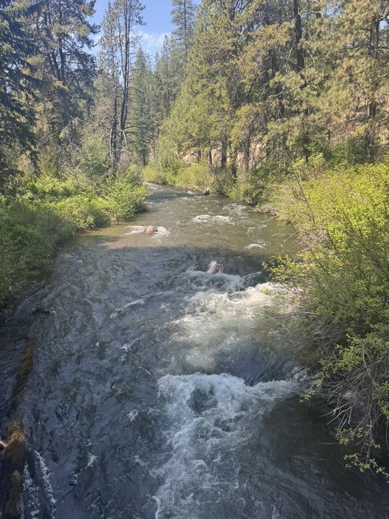
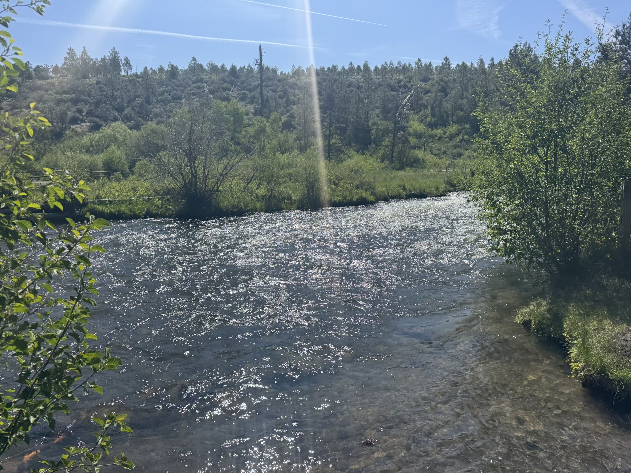
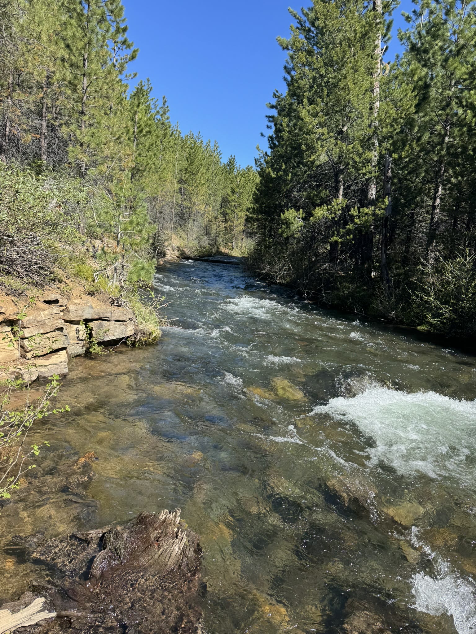
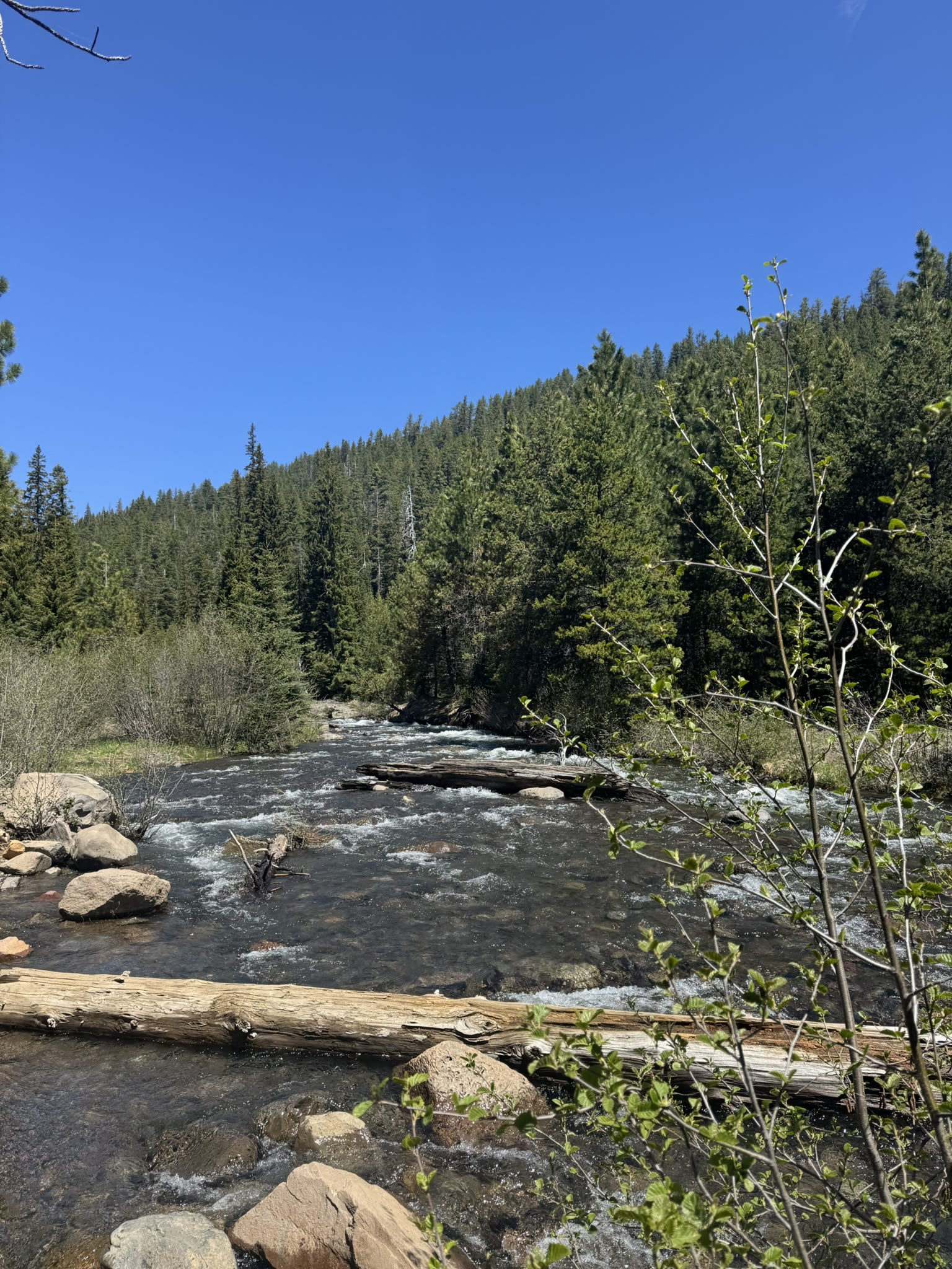
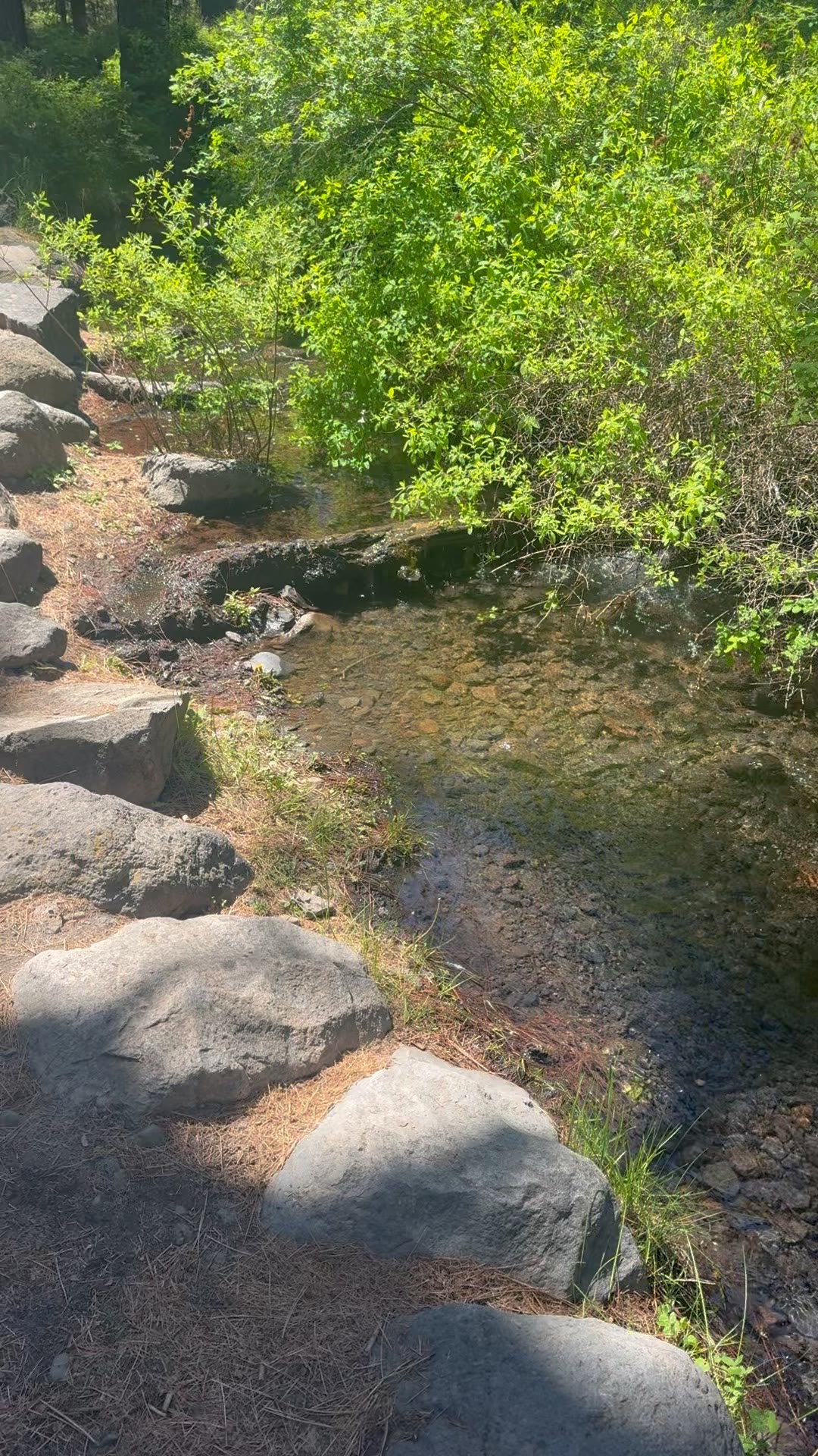
Where the trail levels off, the creek spreads into shallows you can see straight to the bottom of:
And further down where the gradient eases off, just creek and trees:
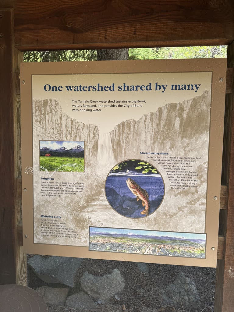
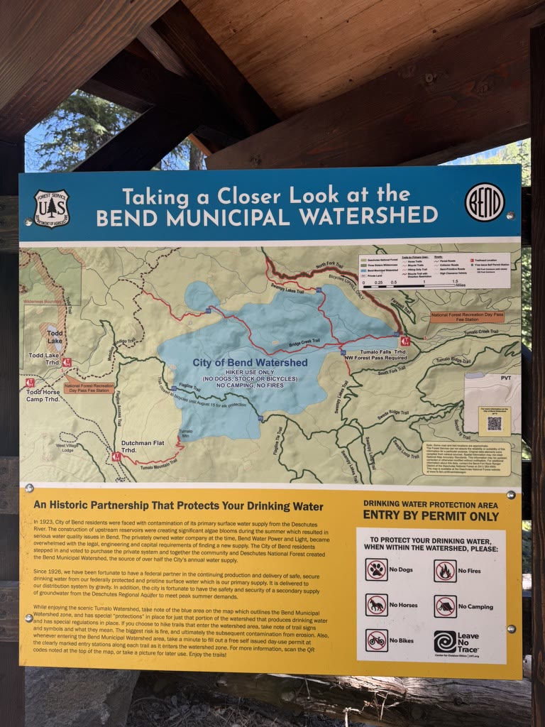
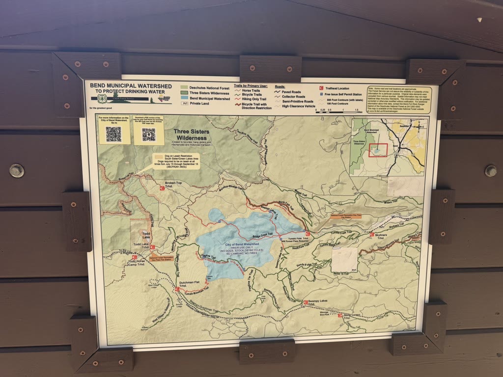
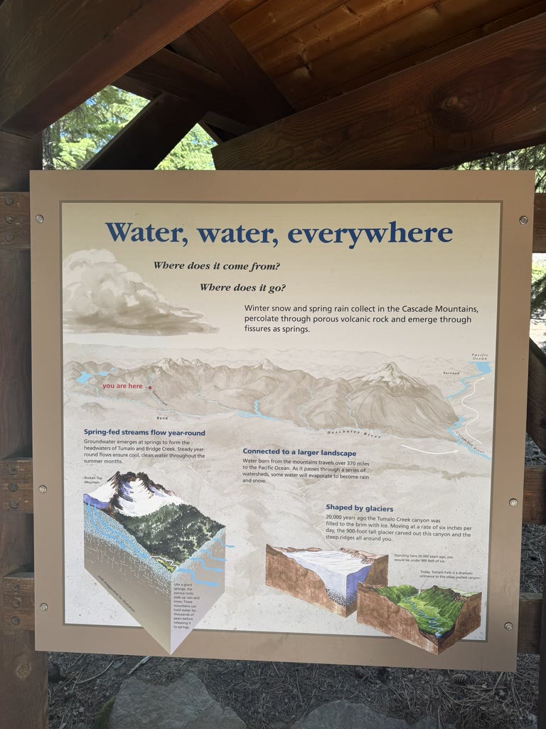
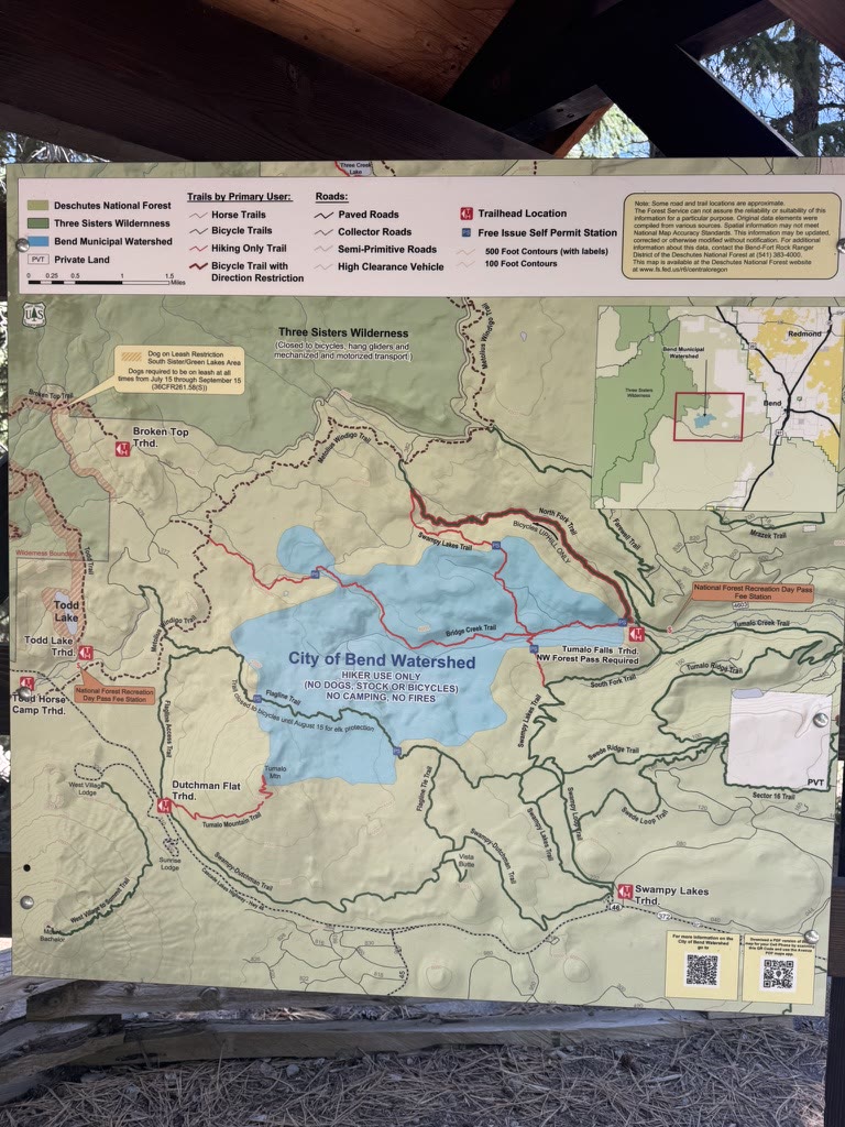
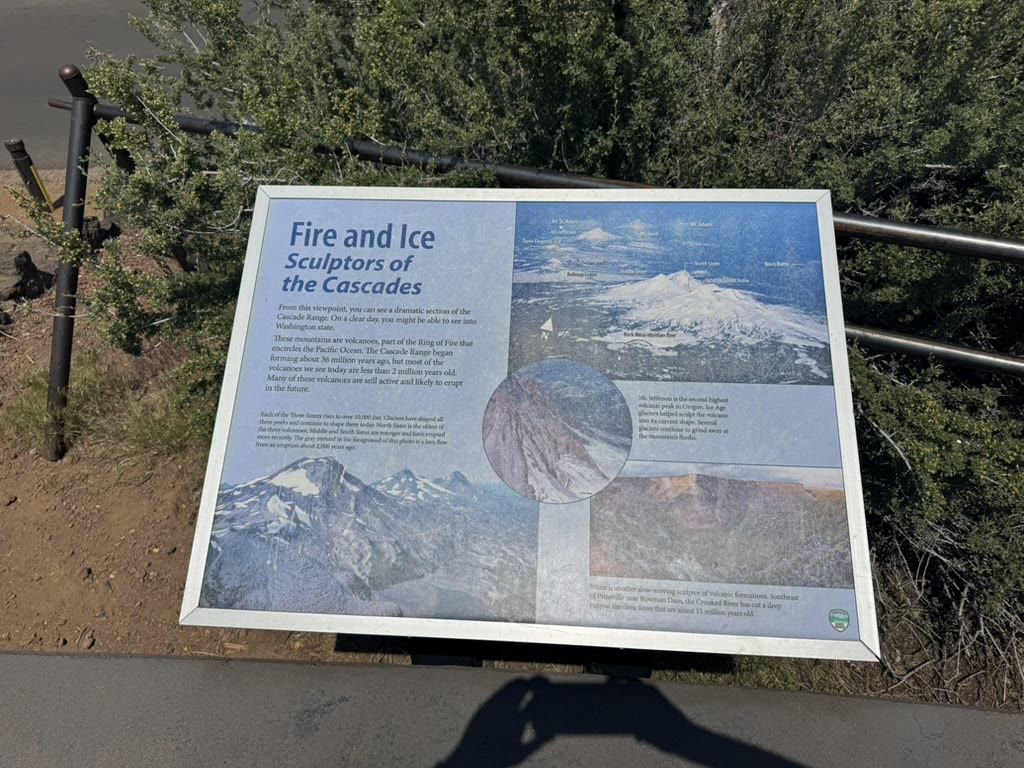
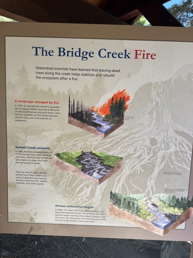
The Bend Municipal Watershed posts these wonderful interpretive signs along the trails. I read all of them. (I'm that guy.) Together they walk you through how snow on the Cascades becomes the water in your glass at a downtown restaurant — a 100-mile journey through volcanic rock — plus the geology that built the range and the fire ecology that keeps it healthy:
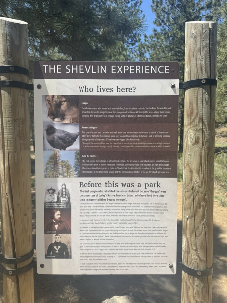
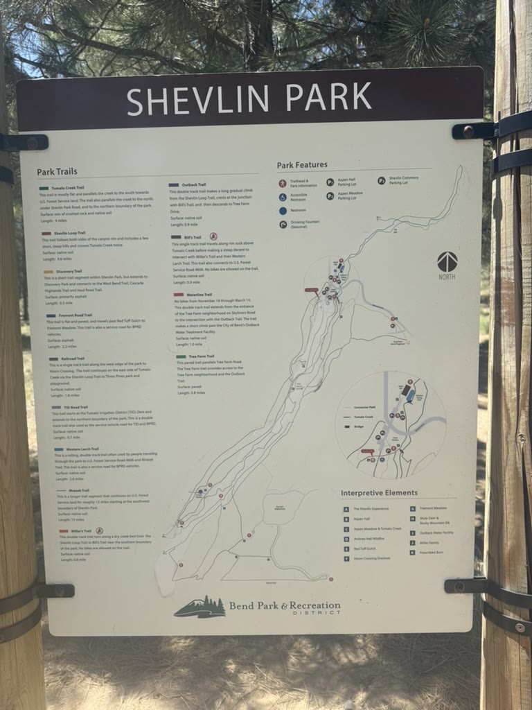
Shevlin Park
Shevlin Park is just outside town. It's free, it's quiet, and it's full of giant ponderosas.
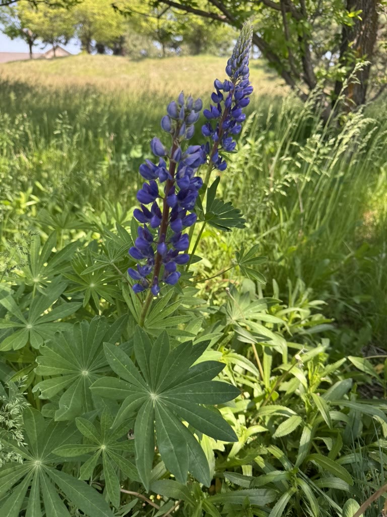
Tumalo Creek runs through the park too, and a solitary lupine showing off on the trail. Plus the Shevlin signage, which you can use to plan a longer hike if you have the day:
A short loop of the creek on the Shevlin side — calmer than the canyon, just enough flow to move some sound through the trees:
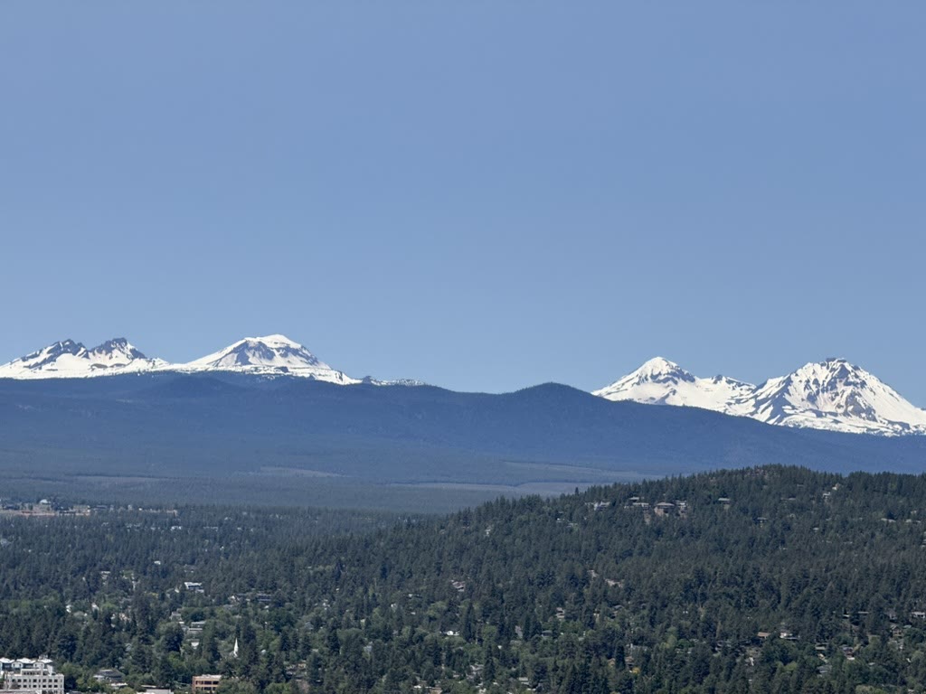
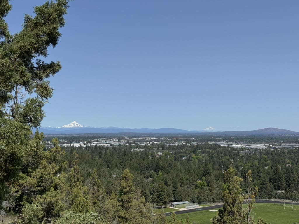
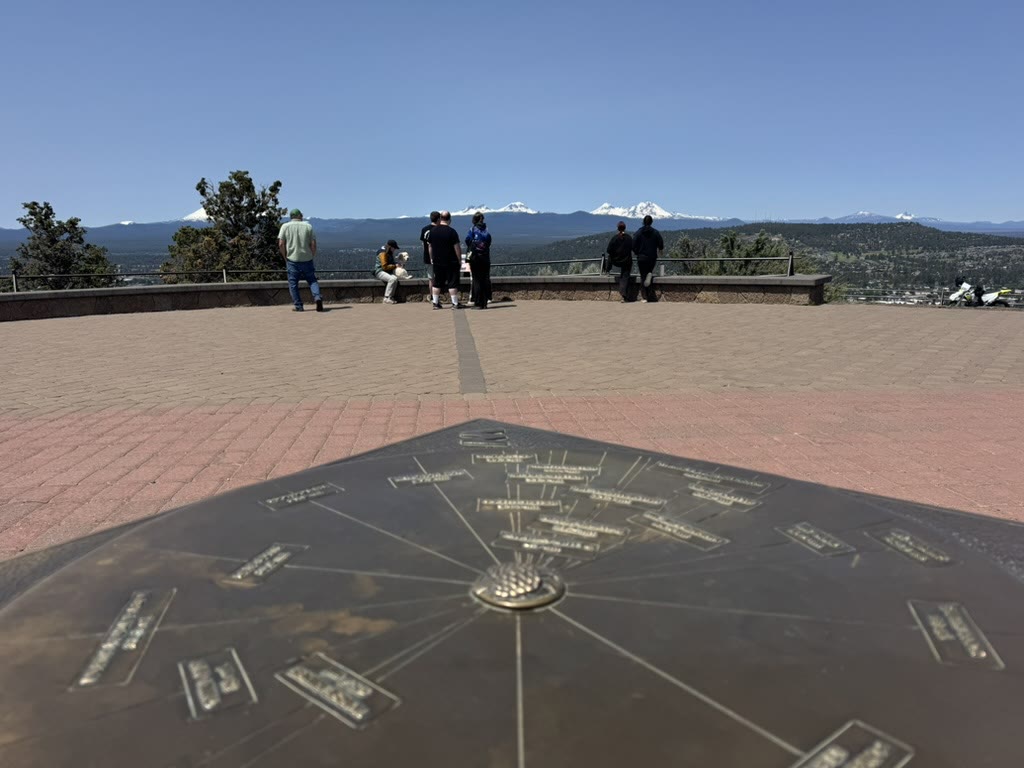
The mountain view from above
Bend has hills you can walk up that hand you the entire Cascade range as a reward. Pilot Butte is the most famous, but any of the buttes around town will do. The summit has a bronze peak-finder pointing at every named mountain on the horizon — handy for the embarrassing moment when you can't tell Bachelor from Broken Top. From up top:
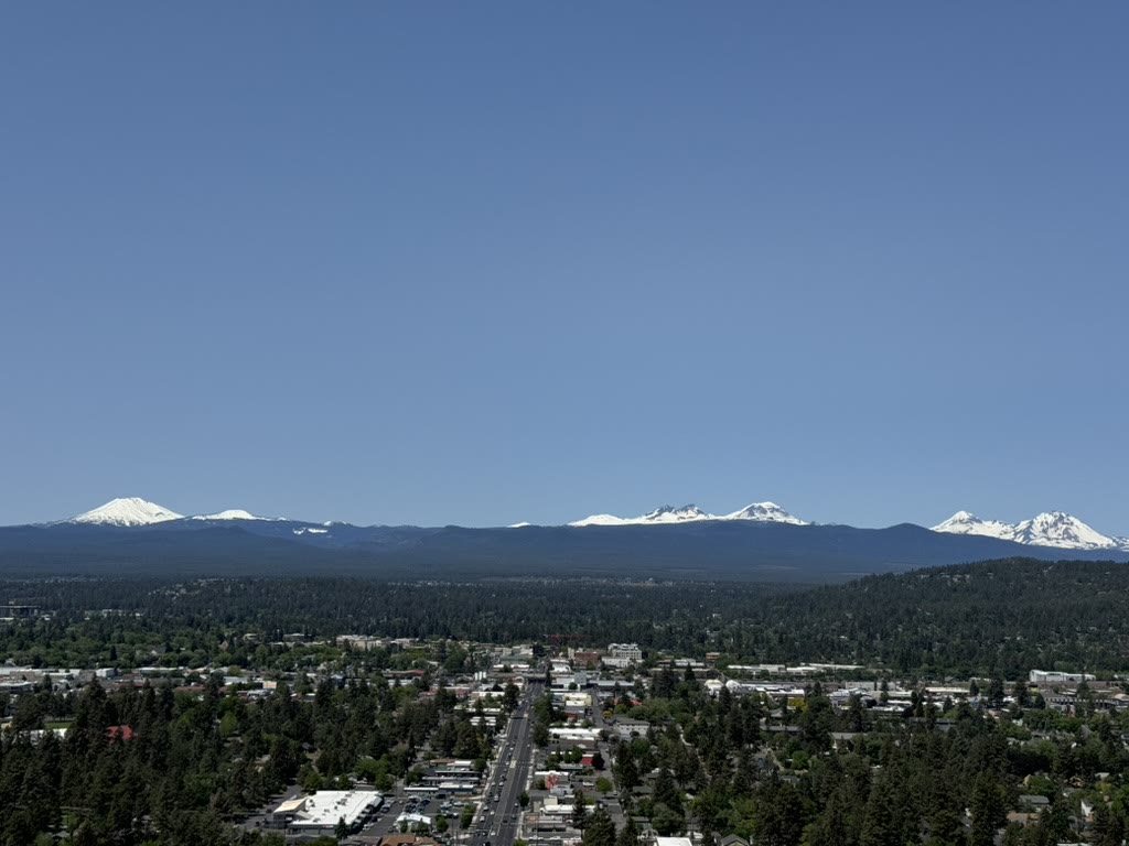
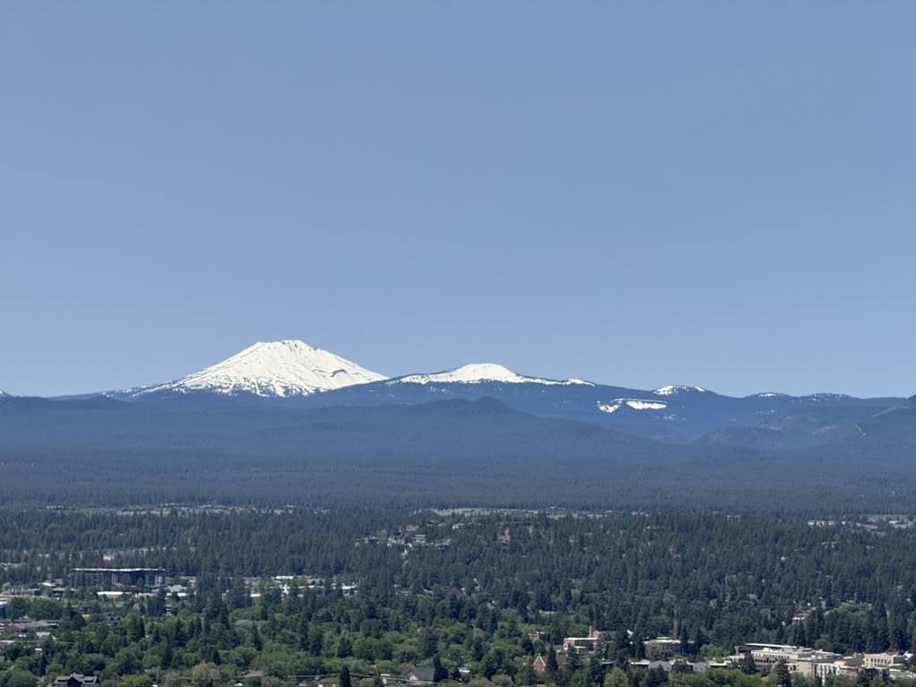
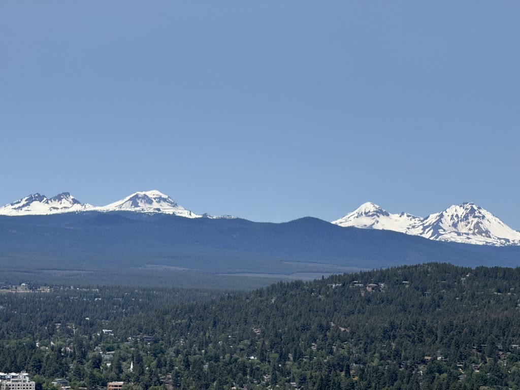
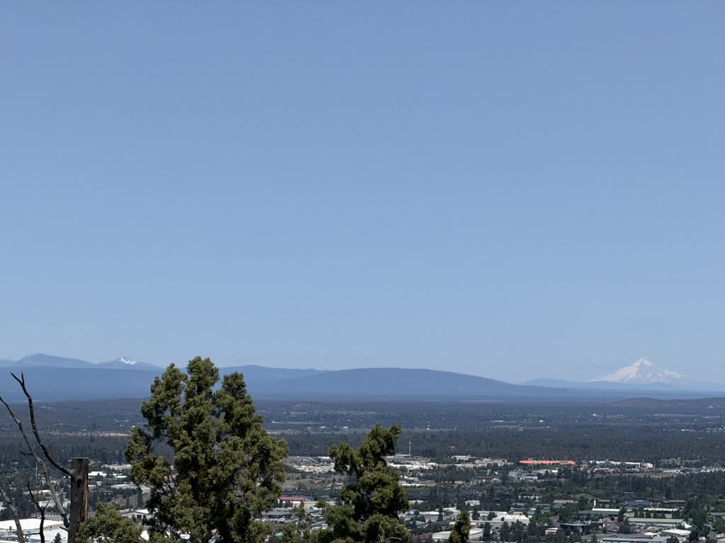
(That last one — Mt Hood — is the small snowcap on the far right horizon. On a clear morning it pokes up from a hundred-plus miles north.)
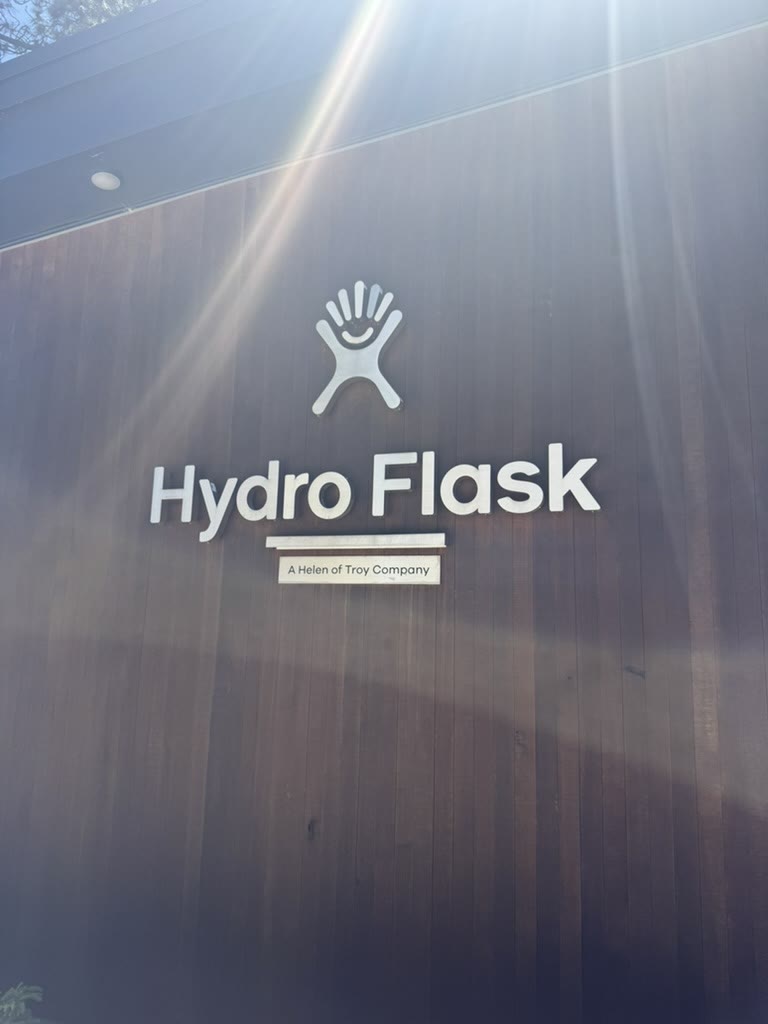
A reservoir town that ships water bottles
I didn't go looking for it, but Hydro Flask is headquartered in Bend, and their HQ sign is a nice quiet little marker if you're walking by. There's something on-brand about a town surrounded by glacial meltwater being the home of a water-bottle company.
Going back
This trip is on my want list. Bend is one of those places where every walk hands you a view, every meal is good, every brewery has something worth ordering, and the trails are right there. I'd go back tomorrow.
I'd also have another Curtain Closer.